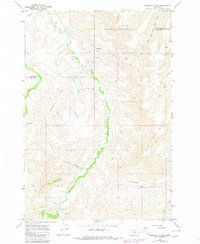
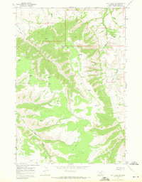
1967 Map of Chilkoot Coulee
USGS Topo · Published 1980About this map
East Pryor Creek carves a dominant path through this landscape, marking the transition between Yellowstone and Big Horn counties. The area is characterized by high ridges and drainage networks, with Wild Horse Ridge rising in the southeast. While largely pastoral, the map reveals specific nodes of activity such as the Sessak Ranch and the small settlement of Beauvais.
Find a feature on this map
16 named features on this map. Tap any name to fly to it.
Don’t see what you’re looking for? This feature index may not catch every label — zoom into the map to look around manually.
Map Details
Editions of this 1967 Chilkoot Coulee Map
2 editions found
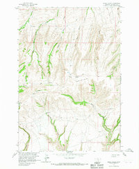
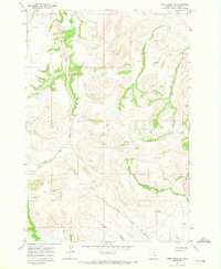
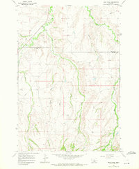
Other maps of this area

1893 · Huntley
USGS Topo · 1:125,000

1954 · Billings
USGS Topo · 1:250,000

1957 · Billings
USGS Topo · 1:250,000

1958 · Billings
USGS Topo · 1:250,000
1964 · Horse Coulee
USGS Topo · 1:24,000
1967 · Deep Creek SE
USGS Topo · 1:24,000
1967 · Deep Creek
USGS Topo · 1:24,000
1967 · Deep Creek SW
USGS Topo · 1:24,000
1967 · Soda Springs
USGS Topo · 1:24,000

1967 · Chilkoot Coulee
USGS Topo · 1:24,000