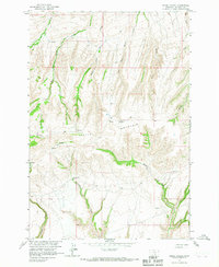
1964 Map of Horse Coulee
USGS Topo · Published 1967About this map
Little Mountain dominates this landscape in Big Horn County, Montana, serving as a high-altitude watershed for a network of complex drainages within the Crow Indian Reservation. Detailed in the early 1960s, the terrain is defined by deep incisions like Horse Coulee and Hoodoo Creek, which reveal a topography largely shaped by water action in an arid environment.
Find a feature on this map
14 named features on this map. Tap any name to fly to it.
Don’t see what you’re looking for? This feature index may not catch every label — zoom into the map to look around manually.
Map Details
Editions of this 1964 Horse Coulee Map
This is the sole edition of this map. No revisions or reprints were ever made.
Other maps of this area

1954 · Billings
USGS Topo · 1:250,000

1957 · Billings
USGS Topo · 1:250,000

1958 · Billings
USGS Topo · 1:250,000
1964 · Little Finger Ridge
USGS Topo · 1:24,000
1964 · Dead Indian Hill
USGS Topo · 1:24,000
1964 · Grapevine Dome
USGS Topo · 1:24,000

1964 · East Pryor Mountain
USGS Topo · 1:24,000

1967 · Deep Creek SE
USGS Topo · 1:24,000
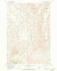
1967 · Chilkoot Coulee
USGS Topo · 1:24,000
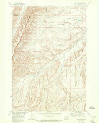
1968 · Bear Coulee
USGS Topo · 1:24,000