
1967 Map of Soda Springs
USGS Topo · Published 1972About this map
The Crow Indian Reservation landscape in the late 1960s is defined by a dense network of coulees and creeks that carve through the Montana terrain south of the Pryor mountains. Centered on the namesake Soda Springs, this survey documents a period when the local economy relied on land management and resource transit, evidenced by a prominent Pipeline cutting across the southern sections. Water sources like East Fork Pryor Creek and Birdhead Creek dominate the drainage patterns, while the rugged topography is punctuated by family-named or descriptive landmarks such as Lone Tree Coulee. The map captures a moment in the mid-20th century before significant modern development, preserving the exact locations of ephemeral watercourses like East Buckeye Creek and East Wets Creek as they existed during the 1967 field check.
Find a feature on this map
9 named features on this map. Tap any name to fly to it.
Don’t see what you’re looking for? This feature index may not catch every label — zoom into the map to look around manually.
Map Details
Editions of this 1967 Soda Springs Map
This is the sole edition of this map. No revisions or reprints were ever made.
Other maps of this area

1893 · Huntley
USGS Topo · 1:125,000

1954 · Billings
USGS Topo · 1:250,000

1957 · Billings
USGS Topo · 1:250,000

1958 · Billings
USGS Topo · 1:250,000

1967 · Deep Creek
USGS Topo · 1:24,000

1967 · Soda Springs NW
USGS Topo · 1:24,000
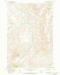
1967 · Chilkoot Coulee
USGS Topo · 1:24,000
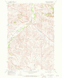
1967 · Badbaby Coulee
USGS Topo · 1:24,000
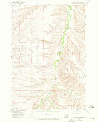
1967 · Vale Creek Ranch
USGS Topo · 1:24,000
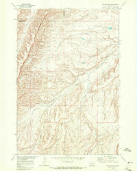
1968 · Bear Coulee
USGS Topo · 1:24,000