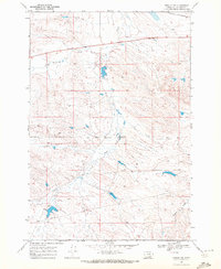
1969 Map of Rowley NW
USGS Topo · Published 1972About this map
The Crow Indian Reservation Boundary bisects this landscape, marking a significant legal and cultural border across the southern half of the sheet. Located in Big Horn County during the late 1960s, the terrain is defined by a series of drainages, most notably Fly Creek, which wanders through the southern sections, and Telegraph Creek and Nash Creek to the north. These watercourses have long dictated the movement and land use in this part of Montana, shaping the ranching and agricultural potential of the reservation lands.
Find a feature on this map
8 named features on this map. Tap any name to fly to it.
Don’t see what you’re looking for? This feature index may not catch every label — zoom into the map to look around manually.
Map Details
Editions of this 1969 Rowley NW Map
This is the sole edition of this map. No revisions or reprints were ever made.
Other maps of this area

1893 · Huntley
USGS Topo · 1:125,000

1894 · Fort Custer
USGS Topo · 1:125,000

1954 · Billings
USGS Topo · 1:250,000

1954 · Hardin
USGS Topo · 1:250,000

1957 · Hardin
USGS Topo · 1:250,000

1957 · Billings
USGS Topo · 1:250,000

1958 · Billings
USGS Topo · 1:250,000

1958 · Hardin
USGS Topo · 1:250,000
1969 · Rowley
USGS Topo · 1:24,000
1969 · Gails Coulee
USGS Topo · 1:24,000