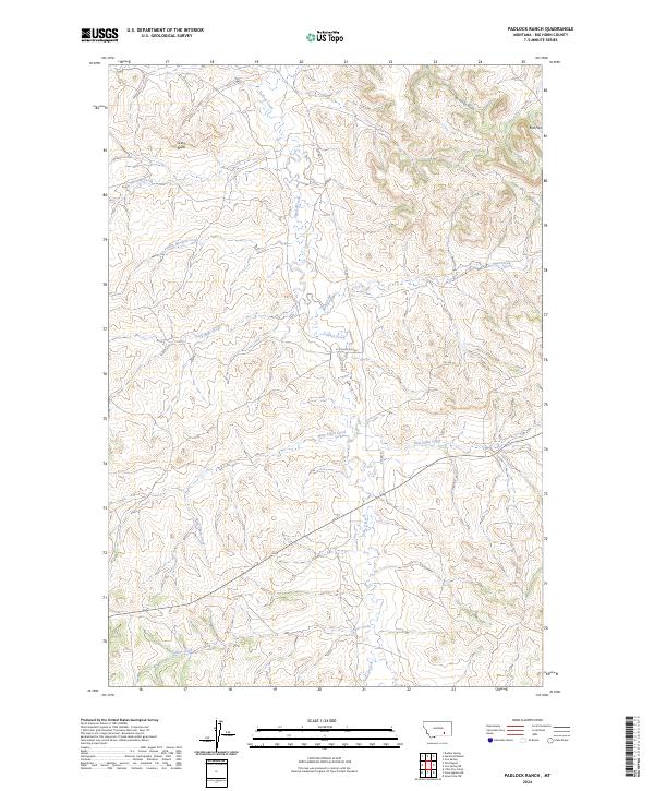
2024 Map of Padlock Ranch
USGS Topo · Published 2024About this map
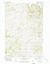
Tullock Creek flows through the center of this Big Horn County landscape, carving a drainage pattern that defines the local topography. The area is characterized by a series of named watercourses and prominent landforms, including the Gracy Butte in the northwest and the Red Hills to the northeast. This modern survey illustrates the enduring ranching geography of Montana, where infrastructure like Cty Rd 57 and N Tullock Cir Rd follows the natural contours of the land. A complex network of intermittent streams, such as Lazy Man Creek, West Cabin Creek, and East Cabin Creek, feeds into the primary valley, while Dawes Creek marks the southern reaches of the quadrangle. The map highlights the intersection of several townships and ranges, providing a clear view of the public land survey system divisions across this part of the state.
Find a feature on this map
19 named features on this map. Tap any name to fly to it.
Don’t see what you’re looking for? This feature index may not catch every label — zoom into the map to look around manually.
Map Details
Editions of this 2024 Padlock Ranch Map
This is the sole edition of this map. No revisions or reprints were ever made.
Other maps of this area

1954 · Hardin
USGS Topo · 1:250,000

1957 · Hardin
USGS Topo · 1:250,000

1958 · Hardin
USGS Topo · 1:250,000

1967 · Jeans Fork NW
USGS Topo · 1:24,000

1967 · Crow Agency NE
USGS Topo · 1:24,000
1967 · Little Dry Creek
USGS Topo · 1:24,000
1972 · The Dugout
USGS Topo · 1:24,000

1972 · Hammond Ranch
USGS Topo · 1:24,000
1972 · Iron Spring
USGS Topo · 1:24,000
1972 · Padlock Ranch
USGS Topo · 1:24,000