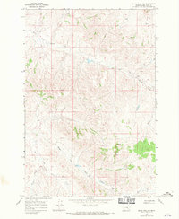
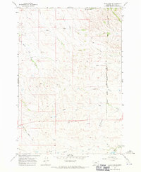
1967 Map of Jeans Fork NW
USGS Topo · Published 1970About this map
East Fork Tullock Creek and its companion branches carve through the high country of Big Horn County, defining a landscape of complex drainage systems and isolated landforms. In this 1967 field-checked study, the area's geological character is highlighted by the prominent Castle Rock and a network of seasonal water sources including Spring and Jeans Fork. The presence of a Drill Hole and scattered Well sites across the terrain suggests early exploratory or agricultural infrastructure within the Crow Indian Reservation boundaries. This topographic record preserves the undeveloped character of the forks before modern infrastructure or land-use changes altered the drainage patterns of the Middle Fork Tullock Creek and West Fork Tullock Creek.
Find a feature on this map
9 named features on this map. Tap any name to fly to it.
Don’t see what you’re looking for? This feature index may not catch every label — zoom into the map to look around manually.
Map Details
Editions of this 1967 Jeans Fork NW Map
This is the sole edition of this map. No revisions or reprints were ever made.
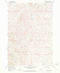
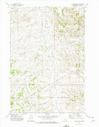
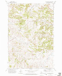
Other maps of this area

1954 · Hardin
USGS Topo · 1:250,000

1957 · Hardin
USGS Topo · 1:250,000

1958 · Hardin
USGS Topo · 1:250,000
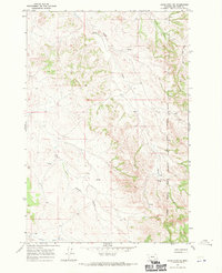
1967 · Jeans Fork NE
USGS Topo · 1:24,000
1967 · Crow Agency NE
USGS Topo · 1:24,000
1967 · Crow Agency SE
USGS Topo · 1:24,000
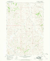
1967 · Jeans Fork SE
USGS Topo · 1:24,000
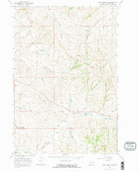
1967 · Jeans Fork SW
USGS Topo · 1:24,000
1972 · Padlock Ranch
USGS Topo · 1:24,000
1972 · Iron Spring SW
USGS Topo · 1:24,000