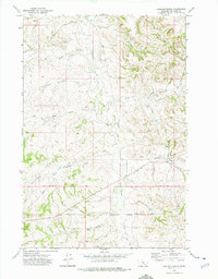
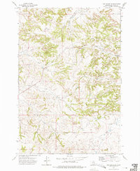
1972 Map of Padlock Ranch
USGS Topo · Published 1975About this map
Padlock Ranch and its surrounding rangelands occupy this portion of Big Horn County during the early 1970s. The landscape is defined by the Crow Indian Reservation Boundary and the east-west Base Line, marking a territory of significant ranching operations and remote infrastructure. The terrain is deeply dissected by a network of seasonal drainages, including the headwaters of Tullock Creek, Big Meadow Creek, and the diverging branches of West Cabin Creek and East Cabin Creek.
Find a feature on this map
17 named features on this map. Tap any name to fly to it.
Don’t see what you’re looking for? This feature index may not catch every label — zoom into the map to look around manually.
Map Details
Editions of this 1972 Padlock Ranch Map
This is the sole edition of this map. No revisions or reprints were ever made.
Other maps of this area

1954 · Hardin
USGS Topo · 1:250,000

1957 · Hardin
USGS Topo · 1:250,000

1958 · Hardin
USGS Topo · 1:250,000

1967 · Jeans Fork NW
USGS Topo · 1:24,000

1967 · Crow Agency NE
USGS Topo · 1:24,000
1967 · Little Dry Creek
USGS Topo · 1:24,000
1972 · The Dugout
USGS Topo · 1:24,000

1972 · Hammond Ranch
USGS Topo · 1:24,000
1972 · Iron Spring
USGS Topo · 1:24,000
1972 · Iron Spring SW
USGS Topo · 1:24,000