
1967 Map of Crow Agency NE
USGS Topo · Published 1970About this map
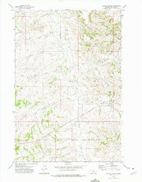
The Crow Indian Reservation boundary encompasses this entire landscape as it was mapped in the late 1960s. The topography is defined by the erosion patterns of the Tullock Creek drainage, with the East Fork Tullock Creek and West Fork carving through the high plains. A prominent landmark, Eagle Butte, stands as a central navigational point in a region characterized by its hydrological reliance on intermittent flows and scattered water sources. Evidence of land use and cattle ranching appears through the fine red dashed lines indicating selected fence lines, alongside isolated wells and several springs that sustain the area. The network of seasonal watercourses like Ash Creek and Willow Creek illustrates the complex drainage system of the Big Horn County interior during this era of U.S. Geological Survey mapping.
Find a feature on this map
9 named features on this map. Tap any name to fly to it.
Don’t see what you’re looking for? This feature index may not catch every label — zoom into the map to look around manually.
Map Details
Editions of this 1967 Crow Agency NE Map
This is the sole edition of this map. No revisions or reprints were ever made.
Other maps of this area

1954 · Hardin
USGS Topo · 1:250,000

1957 · Hardin
USGS Topo · 1:250,000

1958 · Hardin
USGS Topo · 1:250,000

1967 · Jeans Fork NW
USGS Topo · 1:24,000

1967 · Crow Agency SE
USGS Topo · 1:24,000
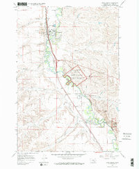
1967 · Crow Agency
USGS Topo · 1:24,000
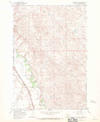
1967 · Little Dry Creek
USGS Topo · 1:24,000
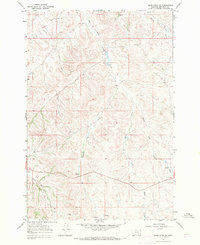
1967 · Jeans Fork SW
USGS Topo · 1:24,000
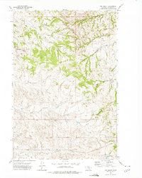
1972 · The Dugout
USGS Topo · 1:24,000
1972 · Padlock Ranch
USGS Topo · 1:24,000