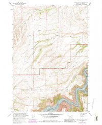
1964 Map of Grapevine Dome
USGS Topo · Published 1983About this map
The Crow Indian Reservation Boundary cuts across this high-elevation landscape, marking a transition between reservation lands and the protected terrain of the Bighorn Canyon National Recreation Area. The topography is dominated by dramatic drainages that feed into the southern reaches of Bighorn Lake, which is recorded here at a normal pool elevation of 3640 feet. Deep incisions like Frozen Leg Canyon and Black Canyon define the area's geological character, while Grapevine Dome stands as a prominent landmark to the northwest.
Find a feature on this map
19 named features on this map. Tap any name to fly to it.
Don’t see what you’re looking for? This feature index may not catch every label — zoom into the map to look around manually.
Map Details
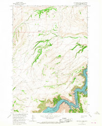
Editions of this 1964 Grapevine Dome Map
2 editions found
Other maps of this area

1894 · St. Xavier
USGS Topo · 1:125,000

1901 · St. Xavier
USGS Topo · 1:125,000

1915 · Spenceville
USGS Topo · 1:31,680

1954 · Billings
USGS Topo · 1:250,000

1954 · Hardin
USGS Topo · 1:250,000

1957 · Hardin
USGS Topo · 1:250,000

1957 · Billings
USGS Topo · 1:250,000

1958 · Billings
USGS Topo · 1:250,000

1958 · Hardin
USGS Topo · 1:250,000

1964 · Peyote Point
USGS Topo · 1:24,000