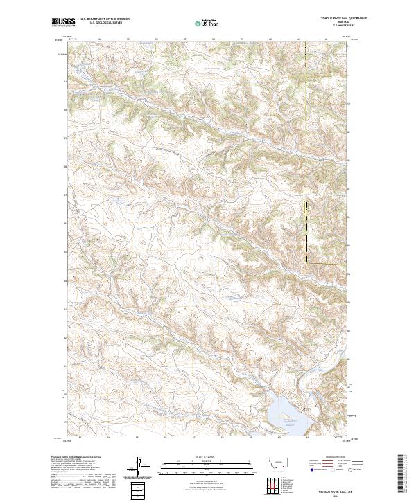
2024 Map of Tongue River Dam
USGS Topo · Published 2024About this map
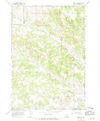
Tongue River Reservoir dominates the southeast corner of this landscape along the border of Big Horn and Rosebud counties. The terrain is defined by a dense network of drainage systems, including the serpentine paths of Leaf Rock Creek, Fourmile Creek, and Post Creek. Numerous springs are recorded throughout the uplands, such as 07S40E09ABCA01 Spring and 08S40E02ABAB01 Spring, indicating the vital role of water sources in this semi-arid environment. The road network, including Montana Secondary Highway 566 and Co Rd 314, follows the natural contours of the draws and creek beds. The mapping of North Fork Monument Creek and South Fork Monument Creek provides a clear view of the complex hydrology feeding into the Tongue River valley.
Find a feature on this map
35 named features on this map. Tap any name to fly to it.
Don’t see what you’re looking for? This feature index may not catch every label — zoom into the map to look around manually.
Map Details
Editions of this 2024 Tongue River Dam Map
This is the sole edition of this map. No revisions or reprints were ever made.
Other maps of this area

1954 · Hardin
USGS Topo · 1:250,000

1957 · Hardin
USGS Topo · 1:250,000

1958 · Hardin
USGS Topo · 1:250,000

1967 · Holmes Ranch
USGS Topo · 1:24,000

1967 · Tongue River Dam
USGS Topo · 1:24,000

1967 · Kirby
USGS Topo · 1:24,000
1967 · Spring Gulch
USGS Topo · 1:24,000
1967 · Pearl School
USGS Topo · 1:24,000
1967 · Taintor Desert
USGS Topo · 1:24,000
1967 · Birney SW
USGS Topo · 1:24,000