
1967 Map of Tongue River Dam
USGS Topo · Published 1971About this map
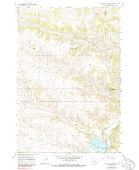
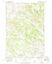
Tongue River Reservoir and the Tongue River Dam dominate the southeastern corner of this 1967 survey of the Big Horn and Rosebud county line. The landscape is defined by an intricate network of drainage systems, including Fourmile Creek in the north and the multi-branched Leaf Rock Creek to the south. This area of Montana reveals a rugged topography of dissected plateaus and deep draws, such as Barber Draw and Post Draw, which highlight the erosional patterns common to the Tongue River basin. Occasional industrial and hydrological markers, such as a Gravel Pit, a Gaging Sta, and a Drill Hole, point to the logistical management of the river and local resources. The map also captures the confluence of smaller tributaries like Monument Creek and Coal Creek as they feed into the primary waterway.
Find a feature on this map
20 named features on this map. Tap any name to fly to it.
Don’t see what you’re looking for? This feature index may not catch every label — zoom into the map to look around manually.
Map Details
Editions of this 1967 Tongue River Dam Map
2 editions found
Other maps of this area

1954 · Hardin
USGS Topo · 1:250,000

1957 · Hardin
USGS Topo · 1:250,000

1958 · Hardin
USGS Topo · 1:250,000

1967 · Holmes Ranch
USGS Topo · 1:24,000

1967 · Kirby
USGS Topo · 1:24,000
1967 · Spring Gulch
USGS Topo · 1:24,000
1967 · Pearl School
USGS Topo · 1:24,000
1967 · Taintor Desert
USGS Topo · 1:24,000
1967 · Birney SW
USGS Topo · 1:24,000
1967 · Half Moon Hill
USGS Topo · 1:24,000