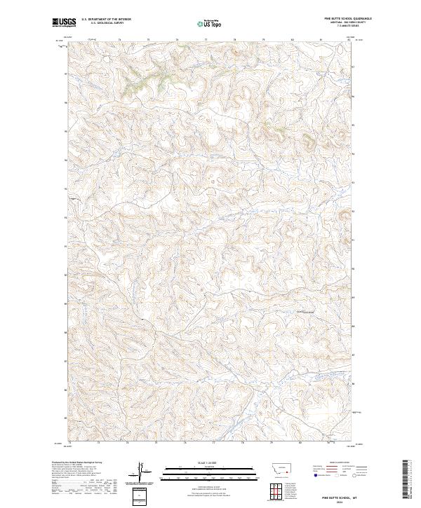
2024 Map of Pine Butte School
USGS Topo · Published 2024About this map
Anderson Creek and First Creek flow through this section of Big Horn County, defining a landscape marked by deep drainages and complex topography. The map detail highlights a network of waterways including Corral Creek and its various branches, such as South Fork Corral Creek and North Fork Corral Creek. This area of Montana is characterized by its drainage patterns, with John Reavis Draw and North Fork Waddle Creek illustrating the erosional forces that have shaped the local terrain. Transportation in this rural expanse is limited to primary routes like Decker/Otter Rd and Otter Rd, which provide the main access through the township and range divisions of the Public Land Survey System. The absence of concentrated settlements suggests a region dedicated to open-range land use or conservation, where water sources like North Fork Deer Creek remain the primary landmarks.
Find a feature on this map
16 named features on this map. Tap any name to fly to it.
Don’t see what you’re looking for? This feature index may not catch every label — zoom into the map to look around manually.
Map Details
Editions of this 2024 Pine Butte School Map
This is the sole edition of this map. No revisions or reprints were ever made.
Other maps of this area

1909 · Sheridan
USGS Topo · 1:125,000

1911 · Sheridan
USGS Topo · 1:125,000

1954 · Hardin
USGS Topo · 1:250,000

1955 · Sheridan
USGS Topo · 1:250,000

1957 · Hardin
USGS Topo · 1:250,000

1958 · Hardin
USGS Topo · 1:250,000

1958 · Sheridan
USGS Topo · 1:250,000

1962 · Sheridan
USGS Topo · 1:250,000

1967 · Holmes Ranch
USGS Topo · 1:24,000

1967 · Lacey Gulch
USGS Topo · 1:24,000