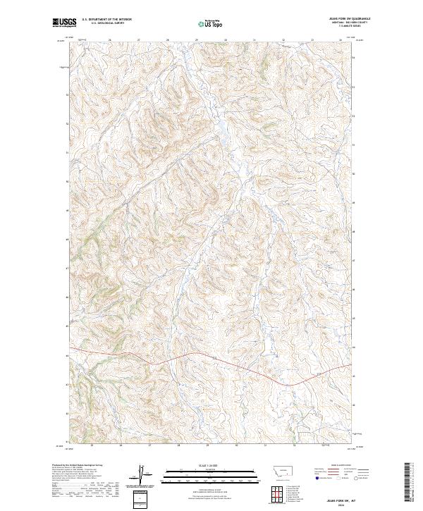
2024 Map of Jeans Fork SW
USGS Topo · Published 2024About this map
West Fork Tullock Creek and Dipping Vat Creek carve through the dissected plateau of Big Horn County, defining a landscape of high ridges and narrow drainages. This recent survey of the region reveals the complex hydrography of the Montana high plains, where intermittent streams dictate the movement of both wildlife and cattle. The southern portion of the sheet is marked by the headwaters of North Fork Reno Creek, situated within a grid of public land survey townships including t3s r37e and t4s r36e. The network of local roads and unimproved tracks follows the natural contours of the coulees, illustrating how modern access continues to be shaped by the existing drainage patterns of the Tullock and Reno creek systems.
Find a feature on this map
9 named features on this map. Tap any name to fly to it.
Don’t see what you’re looking for? This feature index may not catch every label — zoom into the map to look around manually.
Map Details
Editions of this 2024 Jeans Fork SW Map
This is the sole edition of this map. No revisions or reprints were ever made.
Other maps of this area

1894 · Rosebud
USGS Topo · 1:125,000

1901 · Rosebud
USGS Topo · 1:125,000

1954 · Hardin
USGS Topo · 1:250,000

1957 · Hardin
USGS Topo · 1:250,000

1958 · Hardin
USGS Topo · 1:250,000

1967 · Jeans Fork NW
USGS Topo · 1:24,000

1967 · Jeans Fork NE
USGS Topo · 1:24,000

1967 · Crow Agency NE
USGS Topo · 1:24,000

1967 · Crow Agency SE
USGS Topo · 1:24,000

1967 · Lodge Grass NE
USGS Topo · 1:24,000