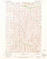
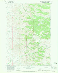
1967 Map of Lodge Grass NE
USGS Topo · Published 1971About this map
The Crow Indian Reservation terrain in the late 1960s is defined by a series of high ridges and narrow creek valleys. Reno Creek and the South Fork of Reno Creek dominate the northern portion of the quadrangle, while the southern landscape is drained by Shavings Creek and Slaughter Creek. In the extreme northwest corner, the Little Bighorn R makes a brief appearance, anchoring the region's topography.
Find a feature on this map
11 named features on this map. Tap any name to fly to it.
Don’t see what you’re looking for? This feature index may not catch every label — zoom into the map to look around manually.
Map Details
Editions of this 1967 Lodge Grass NE Map
3 editions found
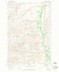
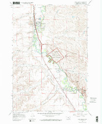
Other maps of this area

1894 · Rosebud
USGS Topo · 1:125,000

1901 · Rosebud
USGS Topo · 1:125,000

1954 · Hardin
USGS Topo · 1:250,000

1957 · Hardin
USGS Topo · 1:250,000

1958 · Hardin
USGS Topo · 1:250,000
1967 · Crow Agency SE
USGS Topo · 1:24,000
1967 · Wolf Mountain Lookout
USGS Topo · 1:24,000
1967 · Benteen
USGS Topo · 1:24,000
1967 · Crow Agency
USGS Topo · 1:24,000
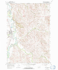
1967 · Lodge Grass
USGS Topo · 1:24,000