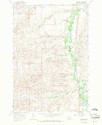
1967 Map of Benteen
USGS Topo · Published 1971About this map
The Little Bighorn River meanders through the eastern portion of this quadrangle, defining the local landscape within the Crow Indian Reservation. The settlement of Benteen sits alongside the Chicago Burlington and Quincy railroad line, which follows the river's path south toward Shavings Creek. This 1967 field-checked survey reveals an intricate network of irrigation and water management, including the Reno Canal and Lodge Grass No 1 Canal, essential for agricultural life in this Big Horn County corridor.
Find a feature on this map
18 named features on this map. Tap any name to fly to it.
Don’t see what you’re looking for? This feature index may not catch every label — zoom into the map to look around manually.
Map Details
Editions of this 1967 Benteen Map
2 editions found
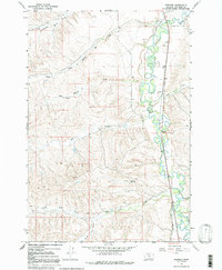
Other maps of this area

1894 · Rosebud
USGS Topo · 1:125,000

1894 · St. Xavier
USGS Topo · 1:125,000

1894 · Fort Custer
USGS Topo · 1:125,000

1901 · Rosebud
USGS Topo · 1:125,000

1901 · St. Xavier
USGS Topo · 1:125,000

1954 · Hardin
USGS Topo · 1:250,000

1957 · Hardin
USGS Topo · 1:250,000

1958 · Hardin
USGS Topo · 1:250,000

1960 · Schick Ranch
USGS Topo · 1:24,000

1960 · St Xavier NE
USGS Topo · 1:24,000