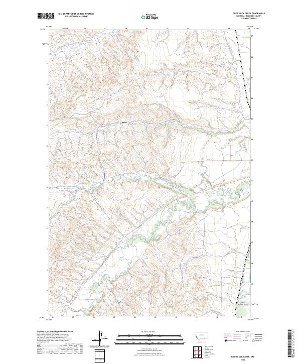
2024 Map of Good Luck Creek
USGS Topo · Published 2024About this map
Lodge Grass Creek meanders through this portion of Big Horn County, defining a landscape shaped by both natural drainage and early 20th-century irrigation engineering. The presence of the Lodge Grass Canal Number One in the northeast quadrant illustrates the historical efforts to manage water resources in this part of Montana. In the southeast, the Little Bighorn River flows through the Little Bighorn Valley, flanked by the modern Frontage Rd and the path of Old Hwy 87. The terrain is deeply incised by numerous seasonal and perennial waterways, including Sunday Creek, Alligator Creek, and the various forks of Good Luck Creek. Local history is anchored by the Lodge Grass Cem, situated near the eastern boundary where the plains begin to rise into more complex ridge systems.
Find a feature on this map
22 named features on this map. Tap any name to fly to it.
Don’t see what you’re looking for? This feature index may not catch every label — zoom into the map to look around manually.
Map Details
Editions of this 2024 Good Luck Creek Map
This is the sole edition of this map. No revisions or reprints were ever made.
Other maps of this area

1894 · Rosebud
USGS Topo · 1:125,000

1894 · St. Xavier
USGS Topo · 1:125,000

1901 · Rosebud
USGS Topo · 1:125,000

1901 · St. Xavier
USGS Topo · 1:125,000

1954 · Hardin
USGS Topo · 1:250,000

1957 · Hardin
USGS Topo · 1:250,000

1958 · Hardin
USGS Topo · 1:250,000

1960 · Schick Ranch
USGS Topo · 1:24,000

1960 · St Xavier NE
USGS Topo · 1:24,000

1967 · Lodge Grass NE
USGS Topo · 1:24,000