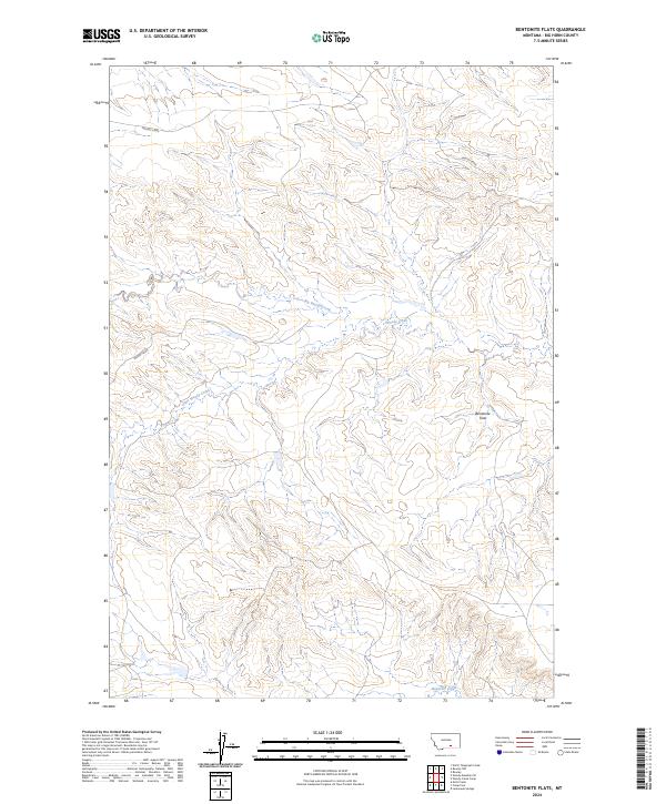
2024 Map of Bentonite Flats
USGS Topo · Published 2024About this map
Bentonite Flats defines the high-altitude topography of this Big Horn County landscape, where an intricate network of drainages carves through the central plains. The area is characterized by the branching paths of Woody Creek and its tributaries, Big Woody Creek and Little Woody Creek, which flow through several townships including t3s r30e and t3s r31e. These seasonal waterways create a complex series of draws and ridges that illustrate the natural erosion patterns across this clay-rich terrain.
Find a feature on this map
11 named features on this map. Tap any name to fly to it.
Don’t see what you’re looking for? This feature index may not catch every label — zoom into the map to look around manually.
Map Details
Editions of this 2024 Bentonite Flats Map
This is the sole edition of this map. No revisions or reprints were ever made.
Other maps of this area

1893 · Huntley
USGS Topo · 1:125,000

1894 · St. Xavier
USGS Topo · 1:125,000

1894 · Fort Custer
USGS Topo · 1:125,000

1901 · St. Xavier
USGS Topo · 1:125,000

1915 · Spenceville
USGS Topo · 1:31,680

1954 · Billings
USGS Topo · 1:250,000

1954 · Hardin
USGS Topo · 1:250,000

1957 · Hardin
USGS Topo · 1:250,000

1957 · Billings
USGS Topo · 1:250,000

1958 · Billings
USGS Topo · 1:250,000