
1967 Map of Section House Draw
USGS Topo · Published 1971About this map
West Pryor Mountain dominates this portion of the Montana landscape, where the Crow Indian Reservation Boundary marks a significant jurisdictional divide across the high-altitude terrain. The topography is defined by the steep descent of Black Canyon and the winding course of Section House Draw, which channel seasonal water toward the lower valleys. This 1966 aerial survey reveals a landscape largely shaped by its natural drainage patterns, including the headwaters of North Fork Fivemile Creek and Middle Fork Fivemile Creek. The area’s sparse infrastructure is concentrated around industrial markers like the Pipelines near Pryor Summit and Gap. Isolated water sources such as Bird Spring and Sand Spring provide critical reference points for land use in this arid, high-country environment.
Find a feature on this map
20 named features on this map. Tap any name to fly to it.
Don’t see what you’re looking for? This feature index may not catch every label — zoom into the map to look around manually.
Map Details
Editions of this 1967 Section House Draw Map
This is the sole edition of this map. No revisions or reprints were ever made.
Other maps of this area

1954 · Billings
USGS Topo · 1:250,000

1956 · Edgar
USGS Topo · 1:24,000

1957 · Billings
USGS Topo · 1:250,000

1958 · Billings
USGS Topo · 1:250,000

1967 · Castle Rocks
USGS Topo · 1:24,000

1967 · Pryor
USGS Topo · 1:24,000

1967 · Bluewater
USGS Topo · 1:24,000
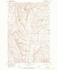
1967 · Pryor NW
USGS Topo · 1:24,000

1969 · Bowler
USGS Topo · 1:24,000
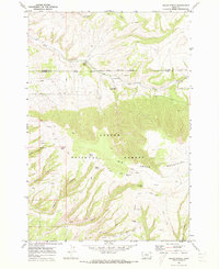
1969 · Indian Spring
USGS Topo · 1:24,000