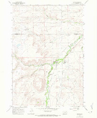
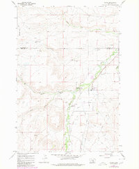
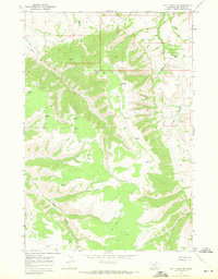
1967 Map of Pryor
USGS Topo · Published 1971About this map
The Crow Indian Res Bdy defines the social and political geography of this landscape, centered on the settlement of Pryor. Situated at the base of rising terrain to the west, the community serves as a focal point for the surrounding valley, anchored by the St Charles Mission Sch. Significant cultural landmarks include the Chief Plenty Coups Memorial State Park, which preserves the legacy of the prominent Crow leader.
Find a feature on this map
23 named features on this map. Tap any name to fly to it.
Don’t see what you’re looking for? This feature index may not catch every label — zoom into the map to look around manually.
Map Details
Editions of this 1967 Pryor Map
2 editions found
Other maps of this area

1893 · Huntley
USGS Topo · 1:125,000

1954 · Billings
USGS Topo · 1:250,000

1957 · Billings
USGS Topo · 1:250,000

1958 · Billings
USGS Topo · 1:250,000
1967 · Castle Rocks
USGS Topo · 1:24,000
1967 · Deep Creek
USGS Topo · 1:24,000
1967 · Deep Creek SW
USGS Topo · 1:24,000
1967 · Section House Draw
USGS Topo · 1:24,000
1967 · Mossmain SW
USGS Topo · 1:24,000

1967 · Pryor NW
USGS Topo · 1:24,000