1967 Map of Pryor
USGS Topo · Published 1980About this map
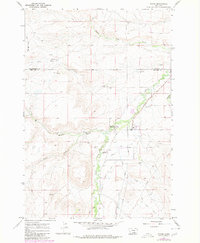
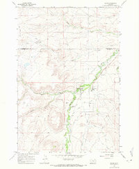
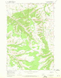
Pryor serves as a central hub within the Crow Indian Res Bdy, where the intersection of water rights and cultural history is clearly visible. The landscape is defined by the winding course of Pryor Creek and an intricate network of irrigation channels, including Pryor Ditch No 1, Pryor Ditch No 2, and Pryor Ditch No 3. These ditches reflect the intensive agricultural management of the Big Horn County valley floor during the late 1960s.
Find a feature on this map
28 named features on this map. Tap any name to fly to it.
Don’t see what you’re looking for? This feature index may not catch every label — zoom into the map to look around manually.
Map Details
Editions of this 1967 Pryor Map
2 editions found
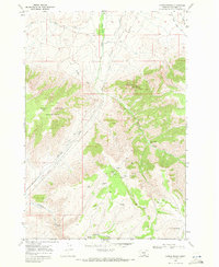
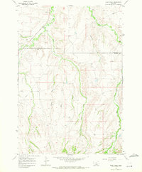
Other maps of this area

1893 · Huntley
USGS Topo · 1:125,000

1954 · Billings
USGS Topo · 1:250,000

1957 · Billings
USGS Topo · 1:250,000

1958 · Billings
USGS Topo · 1:250,000
1967 · Castle Rocks
USGS Topo · 1:24,000
1967 · Deep Creek
USGS Topo · 1:24,000
1967 · Pryor
USGS Topo · 1:24,000
1967 · Deep Creek SW
USGS Topo · 1:24,000
1967 · Section House Draw
USGS Topo · 1:24,000
1967 · Mossmain SW
USGS Topo · 1:24,000