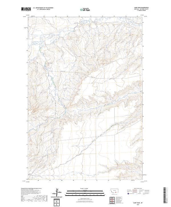
2024 Map of Camp Four
USGS Topo · Published 2024About this map
Twin Peaks rises as a prominent landmark in this segment of Big Horn County, where the high-plains landscape is deeply carved by an intricate drainage system. The hydrology is dominated by Beauvais Creek and Muddy Creek, which weave through the northern and western sections, while Hay Coulee and the South Fork Hay Coulee define the southeastern topography. This area is characterized by its isolation and lack of dense settlement, represented by the sparse presence of Pryor-St X Rd, which serves as one of the few named navigational routes through the terrain. The map provides a clear record of the Public Land Survey System divisions, including sections of t4s r30e and t5s r31e, illustrating how the land was partitioned for ranching and resource management in this part of Montana.
Find a feature on this map
11 named features on this map. Tap any name to fly to it.
Don’t see what you’re looking for? This feature index may not catch every label — zoom into the map to look around manually.
Map Details
Editions of this 2024 Camp Four Map
This is the sole edition of this map. No revisions or reprints were ever made.
Other maps of this area

1893 · Huntley
USGS Topo · 1:125,000

1894 · St. Xavier
USGS Topo · 1:125,000

1894 · Fort Custer
USGS Topo · 1:125,000

1901 · St. Xavier
USGS Topo · 1:125,000

1915 · Spenceville
USGS Topo · 1:31,680

1954 · Billings
USGS Topo · 1:250,000

1954 · Hardin
USGS Topo · 1:250,000

1957 · Hardin
USGS Topo · 1:250,000

1957 · Billings
USGS Topo · 1:250,000

1958 · Billings
USGS Topo · 1:250,000