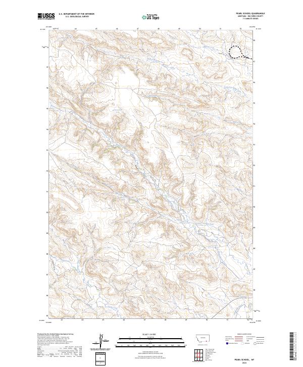
2024 Map of Pearl School
USGS Topo · Published 2024About this map
The ranching and irrigation systems of Big Horn, Montana, are documented in this contemporary survey, highlighting a complex network of water management features in a high-plains landscape. The southern portion of the quadrangle is defined by the flow of Youngs Creek and Tanner Creek, while a sophisticated system of engineered water transport includes the Powers Cormack Ditch, Powers Brothers Ditch, and Gladewater Ditch. These ditches underscore the vital importance of water rights and agricultural infrastructure in this region.
Find a feature on this map
24 named features on this map. Tap any name to fly to it.
Don’t see what you’re looking for? This feature index may not catch every label — zoom into the map to look around manually.
Map Details
Editions of this 2024 Pearl School Map
This is the sole edition of this map. No revisions or reprints were ever made.
Other maps of this area

1894 · Rosebud
USGS Topo · 1:125,000

1895 · Dayton
USGS Topo · 1:125,000

1901 · Rosebud
USGS Topo · 1:125,000

1901 · Dayton
USGS Topo · 1:125,000

1909 · Sheridan
USGS Topo · 1:125,000

1911 · Sheridan
USGS Topo · 1:125,000

1954 · Hardin
USGS Topo · 1:250,000

1955 · Sheridan
USGS Topo · 1:250,000

1957 · Hardin
USGS Topo · 1:250,000

1958 · Hardin
USGS Topo · 1:250,000