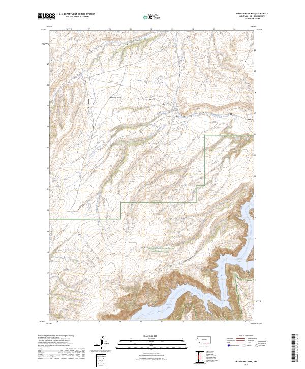
2024 Map of Grapevine Dome
USGS Topo · Published 2024About this map
Grapevine Dome rises above a highly dissected landscape in Big Horn County, characterized by a complex network of drainage systems and deep canyons. This modern survey illustrates the rugged southern Montana terrain where the North Fork Grapevine Creek and South Fork Grapevine Creek converge to form Grapevine Creek. The map shows a significant portion of the Bighorn Canyon National Recreation Area, where the waters of Bighorn Lake fill the deep-cut channels of Bighorn Canyon and Black Canyon. The land is defined by prominent topographical features such as Cooper Ridge and the distinctively named Frozen Leg Canyon. These elevations and waterways provide a clear view of the natural borders and geological formations that define this part of the Crow Indian Reservation region as it exists today.
Find a feature on this map
17 named features on this map. Tap any name to fly to it.
Don’t see what you’re looking for? This feature index may not catch every label — zoom into the map to look around manually.
Map Details
Editions of this 2024 Grapevine Dome Map
This is the sole edition of this map. No revisions or reprints were ever made.
Other maps of this area

1894 · St. Xavier
USGS Topo · 1:125,000

1901 · St. Xavier
USGS Topo · 1:125,000

1915 · Spenceville
USGS Topo · 1:31,680

1954 · Billings
USGS Topo · 1:250,000

1954 · Hardin
USGS Topo · 1:250,000

1957 · Hardin
USGS Topo · 1:250,000

1957 · Billings
USGS Topo · 1:250,000

1958 · Billings
USGS Topo · 1:250,000

1958 · Hardin
USGS Topo · 1:250,000

1964 · Peyote Point
USGS Topo · 1:24,000