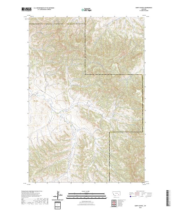
2024 Map of Sarpy School
USGS Topo · Published 2024About this map
The Little Wolf Mountains dominate this remote corner of Montana, where the borders of Big Horn, Rosebud, and Treasure counties converge. This landscape is defined by its complex drainage systems, with headwaters like East Fork Sarpy Creek and East Fork Armells Creek carving through the high country. The terrain rises to distinct landmarks such as Red Butte in the northwest, providing a clear view of the topographical transitions that characterize the region's ranching and open-range heritage.
Find a feature on this map
16 named features on this map. Tap any name to fly to it.
Don’t see what you’re looking for? This feature index may not catch every label — zoom into the map to look around manually.
Map Details
Editions of this 2024 Sarpy School Map
This is the sole edition of this map. No revisions or reprints were ever made.
Other maps of this area

1954 · Hardin
USGS Topo · 1:250,000

1957 · Hardin
USGS Topo · 1:250,000

1958 · Hardin
USGS Topo · 1:250,000

1958 · Chalky Point
USGS Topo · 1:24,000

1958 · Black Spring
USGS Topo · 1:24,000

1967 · Jeans Fork NE
USGS Topo · 1:24,000

1971 · Trail Creek School
USGS Topo · 1:24,000

1971 · Mc Clure Creek
USGS Topo · 1:24,000

1971 · Rough Draw
USGS Topo · 1:24,000
1971 · Sarpy School
USGS Topo · 1:24,000