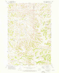
1972 Map of Dudley Spring
USGS Topo · Published 1976About this map
Poverty Flats and the branching coulees of Big Horn and Treasure counties define this 1970s landscape, where intermittent drainage patterns reveal a terrain adapted for ranching and resource management. The map documents scattered infrastructure including numerous wells and the distinctive Flowing Well (Hot), suggesting the geothermal character of the local water table. Near the center, the Old Ford Place serves as a lone marker of historic habitation amidst a network of cattle-country landmarks like Horse Pasture Coulee and Rough Springs Coulee.
Find a feature on this map
28 named features on this map. Tap any name to fly to it.
Don’t see what you’re looking for? This feature index may not catch every label — zoom into the map to look around manually.
Map Details
Editions of this 1972 Dudley Spring Map
This is the sole edition of this map. No revisions or reprints were ever made.
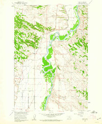
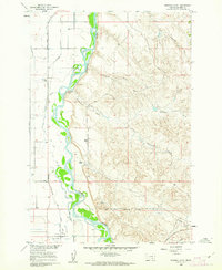
Other maps of this area

1894 · Fort Custer
USGS Topo · 1:125,000

1954 · Hardin
USGS Topo · 1:250,000

1954 · Forsyth
USGS Topo · 1:250,000

1957 · Hardin
USGS Topo · 1:250,000

1957 · Forsyth
USGS Topo · 1:250,000

1958 · Forsyth
USGS Topo · 1:250,000

1958 · Hardin
USGS Topo · 1:250,000
1960 · Foster
USGS Topo · 1:24,000
1960 · Ninemile Point
USGS Topo · 1:24,000
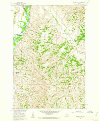
1960 · Marsh Coulee
USGS Topo · 1:24,000