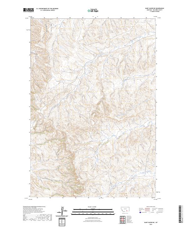
2024 Map of Saint Xavier NE
USGS Topo · Published 2024About this map
Shoulder Blade Creek and Onion Creek define the drainage patterns of this Big Horn County landscape, where deep coulees and seasonal waterways reveal the complex topography of southeastern Montana. The land is marked by significant geographic features like Good Horse Coulee and Cott Coulee, names that reflect the region's ranching heritage and local history. In the southern portion of the quadrangle, East Dipping Vat Coulee points toward traditional livestock management practices, while Bear-in-Middle Creek and Mud Springs Creek snake through the township boundaries of T4S and T5S. This 2024 survey by the U.S. Geological Survey provides a detailed topographic record of the area's natural drainage, including Nest Creek and North Sand Creek, essential for understanding the hydrological layout of this part of the Crow Indian Reservation vicinity.
Find a feature on this map
13 named features on this map. Tap any name to fly to it.
Don’t see what you’re looking for? This feature index may not catch every label — zoom into the map to look around manually.
Map Details
Editions of this 2024 Saint Xavier NE Map
This is the sole edition of this map. No revisions or reprints were ever made.
Other maps of this area

1894 · Rosebud
USGS Topo · 1:125,000

1894 · St. Xavier
USGS Topo · 1:125,000

1894 · Fort Custer
USGS Topo · 1:125,000

1901 · Rosebud
USGS Topo · 1:125,000

1901 · St. Xavier
USGS Topo · 1:125,000

1954 · Hardin
USGS Topo · 1:250,000

1957 · Hardin
USGS Topo · 1:250,000

1958 · Hardin
USGS Topo · 1:250,000

1960 · Schick Ranch
USGS Topo · 1:24,000

1960 · St Xavier
USGS Topo · 1:24,000