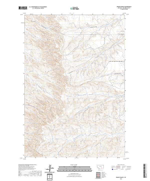
2024 Map of Prante Ranch
USGS Topo · Published 2024About this map
The northern Big Horn County landscape is defined by an intricate drainage system of coulees and ephemeral waterways. Centrally, Dawussuua Ashkaate and its South Fork carve through the terrain, illustrating the complex hydrology of this part of Montana. These features, along with Onion Creek and Spotted Tail Coulee, dominate the topography, reflecting a traditional ranching environment where water access dictates the movement of cattle and the placement of local infrastructure.
Find a feature on this map
18 named features on this map. Tap any name to fly to it.
Don’t see what you’re looking for? This feature index may not catch every label — zoom into the map to look around manually.
Map Details
Editions of this 2024 Prante Ranch Map
This is the sole edition of this map. No revisions or reprints were ever made.
Other maps of this area

1894 · Rosebud
USGS Topo · 1:125,000

1894 · St. Xavier
USGS Topo · 1:125,000

1894 · Fort Custer
USGS Topo · 1:125,000

1901 · Rosebud
USGS Topo · 1:125,000

1901 · St. Xavier
USGS Topo · 1:125,000

1954 · Hardin
USGS Topo · 1:250,000

1957 · Hardin
USGS Topo · 1:250,000

1958 · Hardin
USGS Topo · 1:250,000

1960 · St Xavier
USGS Topo · 1:24,000

1960 · Walker Hill
USGS Topo · 1:24,000