
1960 Map of Walker Hill
USGS Topo · Published 1962About this map
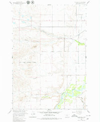
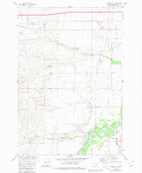
The Bighorn River corridor defines this part of Montana as it appeared in the early 1960s, with a landscape shaped by significant irrigation works and the Chicago Burlington and Quincy railroad line. The map highlights the complex water management system of the valley, featuring the Two Leggins Canal and Big Horn Canal which parallel the river's path. These canals demonstrate the agricultural engineering required to sustain life on the high plains within the Crow Indian Reservation Boundary.
Find a feature on this map
14 named features on this map. Tap any name to fly to it.
Don’t see what you’re looking for? This feature index may not catch every label — zoom into the map to look around manually.
Map Details
Editions of this 1960 Walker Hill Map
3 editions found
Other maps of this area

1894 · Fort Custer
USGS Topo · 1:125,000

1954 · Hardin
USGS Topo · 1:250,000

1957 · Hardin
USGS Topo · 1:250,000

1958 · Hardin
USGS Topo · 1:250,000

1960 · Ninemile Point
USGS Topo · 1:24,000

1960 · Chimney Creek
USGS Topo · 1:24,000

1960 · Hardin
USGS Topo · 1:24,000
1960 · Prante Ranch
USGS Topo · 1:24,000

1960 · Hardin SW
USGS Topo · 1:24,000
1969 · Rowley
USGS Topo · 1:24,000