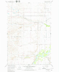
1960 Map of Walker Hill
USGS Topo · Published 1979About this map
The Bighorn River flows through this landscape, flanked by the irrigation infrastructure of the Two Leggins Canal and the Big Horn Canal. The terrain is defined by dramatic coulees and creek beds, including Williams Coulee and Cottonwood Creek, which cut through the open country. Much of the southern and eastern portion of the sheet is marked by the Crow Indian Reservation Boundary, illustrating the land's complex administrative history.
Find a feature on this map
17 named features on this map. Tap any name to fly to it.
Don’t see what you’re looking for? This feature index may not catch every label — zoom into the map to look around manually.
Map Details
Editions of this 1960 Walker Hill Map
3 editions found
Other maps of this area

1894 · Fort Custer
USGS Topo · 1:125,000

1954 · Hardin
USGS Topo · 1:250,000

1957 · Hardin
USGS Topo · 1:250,000

1958 · Hardin
USGS Topo · 1:250,000

1960 · Ninemile Point
USGS Topo · 1:24,000

1960 · Chimney Creek
USGS Topo · 1:24,000

1960 · Walker Hill
USGS Topo · 1:24,000

1960 · Hardin
USGS Topo · 1:24,000
1960 · Prante Ranch
USGS Topo · 1:24,000

1960 · Hardin SW
USGS Topo · 1:24,000