
1960 Map of Hardin
USGS Topo · Published 1962About this map
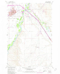
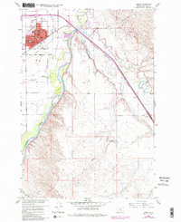
The confluence of the Bighorn River and the Little Bighorn River dominates this mid-century landscape, where irrigation and rail infrastructure supported the growing community of Hardin. The town center is detailed with civic landmarks including the St Joseph Ch, Memorial Hospital, and the Court House. Just east of the city, a Historical Monument (Site of Fort Custer) marks the military legacy of the region, situated near a prominent bend in the river. Agricultural development is evident through the extensive reach of the Farmers Canal and Agency Canal, which draw from the river systems to support local ranching and farming. The presence of Dunmore and the Chicago Burlington and Quincy railroad line illustrates the importance of transportation in connecting these Montana settlements to larger markets. Further south, the map identifies isolated locations like Campbell Camp No 1, reflecting the area's transition into more open terrain.
Find a feature on this map
33 named features on this map. Tap any name to fly to it.
Don’t see what you’re looking for? This feature index may not catch every label — zoom into the map to look around manually.
Map Details
Editions of this 1960 Hardin Map
Other maps of this area

1894 · Fort Custer
USGS Topo · 1:125,000

1954 · Hardin
USGS Topo · 1:250,000

1957 · Hardin
USGS Topo · 1:250,000

1958 · Hardin
USGS Topo · 1:250,000

1960 · Ninemile Point
USGS Topo · 1:24,000

1960 · Chimney Creek
USGS Topo · 1:24,000

1960 · Walker Hill
USGS Topo · 1:24,000
1960 · Prante Ranch
USGS Topo · 1:24,000

1960 · Hardin SW
USGS Topo · 1:24,000
1967 · Crow Agency
USGS Topo · 1:24,000