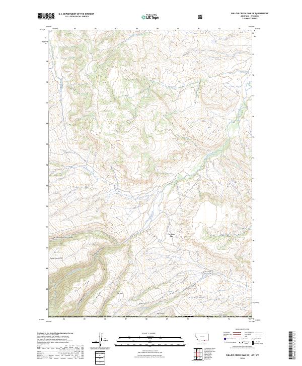
2024 Map of Willow Creek Dam SW
USGS Topo · Published 2024About this map
Lodge Grass Canyon and the surrounding high-altitude breaks of Big Horn County define this landscape on the Montana-Wyoming border. This modern survey illustrates a rugged drainage network where Lodge Grass Creek and its many tributaries, such as Percheron Creek and Coyote Creek, have carved deep into the limestone and shale of the northern Bighorn Mountains. The map reveals a remote ranching and grazing landscape characterized by prominent landmarks like The Mesa and Tepee Pole Ridge. Transportation is minimal, with Marble Quarry Rd providing one of the few named access points into the high country. Notable topographical features like The Beaver Slide and Salt Ridge suggest a terrain shaped by steep elevation changes and traditional migration or herding routes across the ridges, providing a clear record of the area's natural boundaries and water sources.
Find a feature on this map
33 named features on this map. Tap any name to fly to it.
Don’t see what you’re looking for? This feature index may not catch every label — zoom into the map to look around manually.
Map Details
Editions of this 2024 Willow Creek Dam SW Map
This is the sole edition of this map. No revisions or reprints were ever made.
Other maps of this area

1894 · St. Xavier
USGS Topo · 1:125,000

1898 · Bald Mountain
USGS Topo · 1:125,000

1901 · St. Xavier
USGS Topo · 1:125,000

1901 · Bald Mountain
USGS Topo · 1:125,000

1954 · Hardin
USGS Topo · 1:250,000

1955 · Sheridan
USGS Topo · 1:250,000

1957 · Hardin
USGS Topo · 1:250,000

1958 · Hardin
USGS Topo · 1:250,000

1958 · Sheridan
USGS Topo · 1:250,000

1960 · Boyd Ridge
USGS Topo · 1:24,000