
1960 Map of Boyd Ridge
USGS Topo · Published 1962About this map
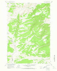
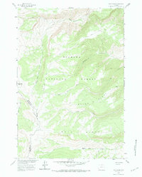
Bighorn National Forest dominates this high-altitude landscape along the border of Big Horn and Sheridan Counties. The terrain is defined by the sharp elevations of Boyd Ridge and Crater Ridge, where deep drainages like Mann Creek and Wagon Box Creek cut through the timbered slopes. Industrial activity is represented by the Marble Quarry located in the northern reaches, accessed by the rugged Marble Quarry Road. This area, surveyed for the Department of the Interior's Missouri River Basin development program, shows a wilderness primarily used for natural resource extraction and watershed management. Local landmarks like Sheep Mtn and the isolated Crater Spring provide reference points for those tracking historical land use and early access routes through the northern Bighorn range.
Find a feature on this map
18 named features on this map. Tap any name to fly to it.
Don’t see what you’re looking for? This feature index may not catch every label — zoom into the map to look around manually.
Map Details
Editions of this 1960 Boyd Ridge Map
3 editions found
Other maps of this area

1894 · St. Xavier
USGS Topo · 1:125,000

1898 · Bald Mountain
USGS Topo · 1:125,000

1901 · St. Xavier
USGS Topo · 1:125,000

1901 · Bald Mountain
USGS Topo · 1:125,000

1954 · Hardin
USGS Topo · 1:250,000

1955 · Sheridan
USGS Topo · 1:250,000

1957 · Hardin
USGS Topo · 1:250,000

1958 · Hardin
USGS Topo · 1:250,000

1958 · Sheridan
USGS Topo · 1:250,000

1960 · Medicine Wheel
USGS Topo · 1:24,000