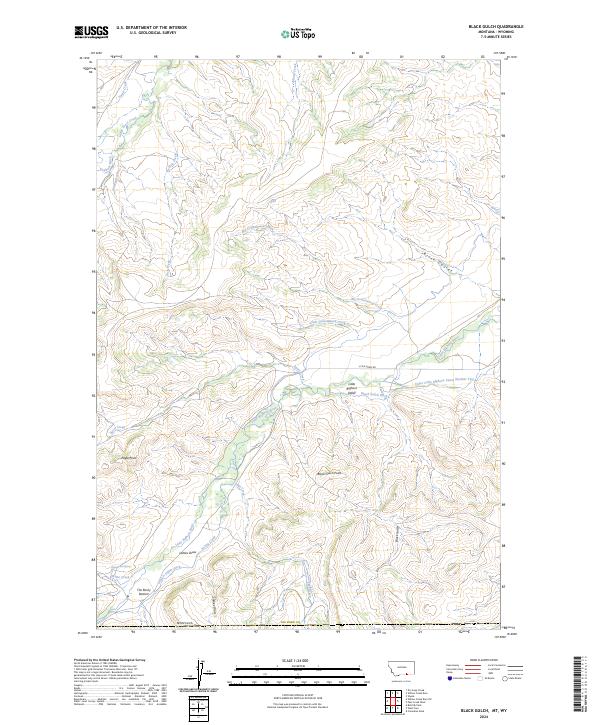
2024 Map of Black Gulch
USGS Topo · Published 2024About this map
The Little Bighorn River carves a fertile corridor through the high country of Big Horn County, supporting a specialized network of irrigation infrastructure essential to the region's ranching and agricultural history. Named water systems like the Upper Little Bighorn Canal Number Two, Black Gulch Ditch, and Graham Ditch trace the contours of the valley, while smaller landmarks like Dipping Vat Spring point to historical livestock management practices.
Find a feature on this map
32 named features on this map. Tap any name to fly to it.
Don’t see what you’re looking for? This feature index may not catch every label — zoom into the map to look around manually.
Map Details
Editions of this 2024 Black Gulch Map
This is the sole edition of this map. No revisions or reprints were ever made.
Other maps of this area

1894 · Rosebud
USGS Topo · 1:125,000

1894 · St. Xavier
USGS Topo · 1:125,000

1895 · Dayton
USGS Topo · 1:125,000

1898 · Bald Mountain
USGS Topo · 1:125,000

1901 · Rosebud
USGS Topo · 1:125,000

1901 · Dayton
USGS Topo · 1:125,000

1901 · St. Xavier
USGS Topo · 1:125,000

1901 · Bald Mountain
USGS Topo · 1:125,000

1954 · Hardin
USGS Topo · 1:250,000

1955 · Sheridan
USGS Topo · 1:250,000