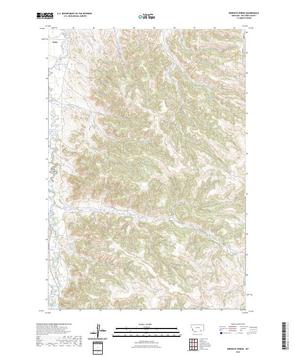
2024 Map of Birdseye Spring
USGS Topo · Published 2024About this map
Rosebud Creek winds through this landscape in southeastern Montana, where the small community of Busby sits near the northern boundary. The terrain is defined by an intricate network of drainages and seasonal watercourses, including the notable Birdseye Spring and the converging flows of South Fork Busby Creek and Eagle Feathers Creek. This modern survey by the U.S. Geological Survey documents the current topography and administrative boundaries within Big Horn County.
Find a feature on this map
15 named features on this map. Tap any name to fly to it.
Don’t see what you’re looking for? This feature index may not catch every label — zoom into the map to look around manually.
Map Details
Editions of this 2024 Birdseye Spring Map
This is the sole edition of this map. No revisions or reprints were ever made.
Other maps of this area

1894 · Rosebud
USGS Topo · 1:125,000

1901 · Rosebud
USGS Topo · 1:125,000

1954 · Hardin
USGS Topo · 1:250,000

1957 · Hardin
USGS Topo · 1:250,000

1958 · Hardin
USGS Topo · 1:250,000

1958 · Painted Hill
USGS Topo · 1:24,000

1958 · Bull Creek Lookout
USGS Topo · 1:24,000

1958 · Busby
USGS Topo · 1:24,000

1958 · Birdseye Spring
USGS Topo · 1:24,000

1967 · Kirby
USGS Topo · 1:24,000