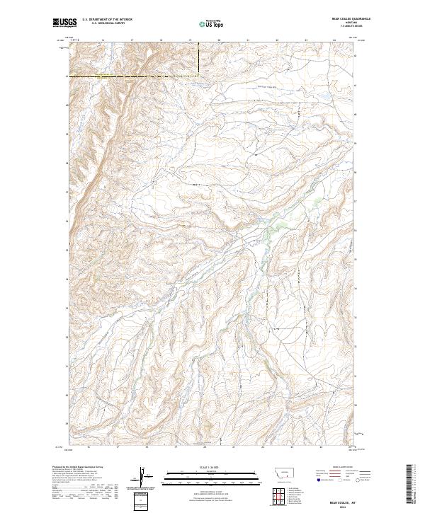
2024 Map of Bear Coulee
USGS Topo · Published 2024About this map
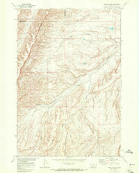
Beauvais Creek and the intricate drainage network of Buster Creek dominate this landscape on the border of Yellowstone and Big Horn counties. The terrain is defined by a series of deep coulees and creek forks, including the Middle Fork and West Fork Buster Creek, which illustrate the complex erosional patterns of this Montana region. Navigating this area relies on a handful of established routes, most notably the Pryor-St Xavier Rd and the Pryor St X Cut-Across, which provide essential connections across the undulating topography. The map reveals a land defined more by its natural watercourses, such as Big Woody Creek and Corral Coulee, than by dense human settlement, offering a clear picture of the vast, open character of the modern Big Horn country landscape.
Find a feature on this map
15 named features on this map. Tap any name to fly to it.
Don’t see what you’re looking for? This feature index may not catch every label — zoom into the map to look around manually.
Map Details
Editions of this 2024 Bear Coulee Map
This is the sole edition of this map. No revisions or reprints were ever made.
Other maps of this area

1893 · Huntley
USGS Topo · 1:125,000

1954 · Billings
USGS Topo · 1:250,000

1957 · Billings
USGS Topo · 1:250,000

1958 · Billings
USGS Topo · 1:250,000
1964 · Horse Coulee
USGS Topo · 1:24,000
1964 · Grapevine Dome
USGS Topo · 1:24,000

1967 · Deep Creek SE
USGS Topo · 1:24,000

1967 · Soda Springs
USGS Topo · 1:24,000
1967 · Chilkoot Coulee
USGS Topo · 1:24,000
1968 · Bear Coulee
USGS Topo · 1:24,000