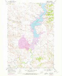
1967 Map of Decker
USGS Topo · Published 1978About this map
The Tongue River Reservoir dominates this Big Horn County landscape, its water levels and shoreline captured during a period of industrial and topographical revision in the late 1960s and 1970s. The small settlement of Decker sits near the confluence of Squirrel Creek and the Tongue River, serving as a focal point for local history researchers and genealogists tracing rural Montana roots. Evidence of the region’s economic foundation is visible at the Tongue River Mine and various Gravel Pits scattered across the terrain.
Find a feature on this map
18 named features on this map. Tap any name to fly to it.
Don’t see what you’re looking for? This feature index may not catch every label — zoom into the map to look around manually.
Map Details
Editions of this 1967 Decker Map
2 editions found
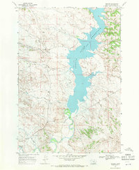
Other maps of this area

1909 · Sheridan
USGS Topo · 1:125,000

1911 · Sheridan
USGS Topo · 1:125,000

1954 · Hardin
USGS Topo · 1:250,000

1955 · Sheridan
USGS Topo · 1:250,000

1957 · Hardin
USGS Topo · 1:250,000

1958 · Hardin
USGS Topo · 1:250,000

1958 · Sheridan
USGS Topo · 1:250,000

1962 · Sheridan
USGS Topo · 1:250,000

1967 · Holmes Ranch
USGS Topo · 1:24,000

1967 · Tongue River Dam
USGS Topo · 1:24,000