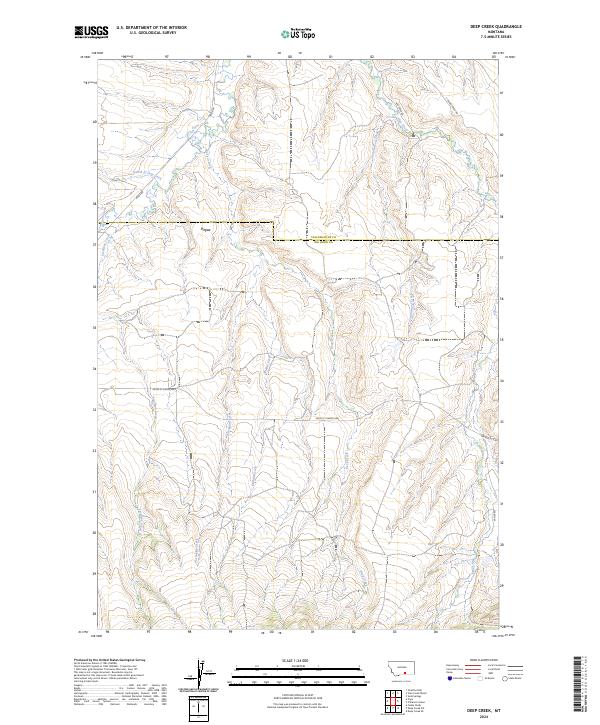
2024 Map of Deep Creek
USGS Topo · Published 2024About this map
Pryor serves as the primary settlement within this transition zone between Yellowstone and Big Horn counties. The landscape is defined by a dense network of drainage systems, with Pryor Creek and its many tributaries, including the curiously named Fourth of July Creek and Smallpox Creek, carving through the local topography. This 2024 USGS survey highlights how modern infrastructure, such as the Pryor St Xavier Hwy, follows the natural contours of the land, connecting this remote region to the larger transit network. The map reveals a complex hydrographic pattern where Deep Creek and Middle Creek flow through deep valleys, reflecting the erosion-carved character of this part of southern Montana. For those researching the geography of the Crow Reservation area, the interplay of local roads like Pryor Rd and family-named landmarks like Hay Creek offers a clear view of current land use and settlement patterns.
Find a feature on this map
19 named features on this map. Tap any name to fly to it.
Don’t see what you’re looking for? This feature index may not catch every label — zoom into the map to look around manually.
Map Details
Editions of this 2024 Deep Creek Map
This is the sole edition of this map. No revisions or reprints were ever made.
Other maps of this area

1893 · Huntley
USGS Topo · 1:125,000

1954 · Billings
USGS Topo · 1:250,000

1957 · Billings
USGS Topo · 1:250,000

1958 · Billings
USGS Topo · 1:250,000

1967 · Deep Creek SE
USGS Topo · 1:24,000

1967 · Castle Rocks
USGS Topo · 1:24,000

1967 · Deep Creek
USGS Topo · 1:24,000

1967 · Pryor
USGS Topo · 1:24,000

1967 · Deep Creek SW
USGS Topo · 1:24,000

1967 · Soda Springs
USGS Topo · 1:24,000