Old Maps of Chinook, Montana for Academic Research
Study the evolution of Chinook with 12 high-resolution historic maps. Whether you're teaching, researching, or modeling changes in land use, these maps provide essential visual documentation of urban, environmental, and geographic change.
- Analyze long-term change: Track patterns in development, transportation, and natural features.
- Ideal for environmental or urban studies: Support academic projects with primary historical map data.
- Use in the classroom or lab: Educators and researchers rely on these maps to bring historical context to life.
These maps are a powerful tool for teaching, research, and visualizing how Chinook has changed over the decades.
Chinook, MT maps
(12)- 1904 Map of Chinook
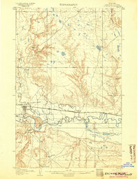 1904 Chinook1904 Print · USGSLife in the Milk River Valley at the dawn of the century revolved around the rail lines and new irrigation canals. Researchers can trace early ranch holdings like Nelson's Ranch and Ronne's Ranch or locate the site of Kerrs Coalmine.2 unique versions available
 - 1912 Map of Zurich
 1912 Zurich1912 Print · USGSNorthern Montana ranchlands and rail towns are captured here in the early twentieth century before the full development of modern irrigation. Genealogists and historians can locate early family-named sites like Corregan Ranch and Kerrs Coalmine along the Great Northern railroad line.
 - 1953 Map of Havre, 1967 Print
 1953 Havre1967 Print · USGSNorthern Montana’s Hi-Line comes into focus in the mid-fifties, centered on the Milk River and the critical Great Northern rail link. Genealogists can trace small sidings and settlements like Assinniboine, Laredo, and Box Elder alongside the Fort Belknap Agency.3 unique versions available
 - 1957 Map of Havre
 1957 Havre1957 Print · USGSNorth-central Montana at the mid-century is defined by the vital Great Northern rail corridor and the winding Milk River. Researchers can trace old settlements like Laredo and Savoy, or locate historic sites such as the Hays (old) Sub Agency and the Chinook No 1 mine.
 - 1958 Map of Havre
 1958 Havre1958 Print · USGSUpper Montana in the late fifties was a landscape of remote rail towns and vast high-plain ranges. Genealogists and historians can trace the Great Northern railroad through Havre, Chinook, and the Fort Belknap Indian Reservation.
 - 1964 Map of Chinook, 1967 Print
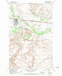 1964 Chinook1967 Print · USGSChinook and the Milk River valley thrive in the mid-1960s as a center of Montana rail and irrigation. Researchers can trace the town's industrial footprint through the Oil Refinery, locate family landmarks like the East Chinook Sch, or follow the Great Northern line.
 - 1984 Map of Havre
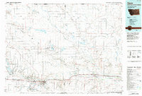 1984 Havre1984 Print · USGSThe Milk River valley and the northern high plains come into focus in the mid-1980s, detailing a landscape defined by rail, ranching, and water management. Trace the path of the Burlington Northern through Havre and Chinook, or locate sites like the Havre Air Force Station and Hilldale Colony.
 - 2011 Map of Chinook, 2011 Print
 2011 Chinook2011 Print · USGSCovers Chinook, including Blaine County, United States, and other nearby areas
 - 2014 Map of Chinook, 2014 Print
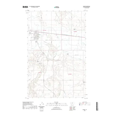
 2014 Chinook2014 Print · USGSCovers Chinook, including Blaine County, United States, and other nearby areas
 - 2017 Map of Chinook, 2017 Print
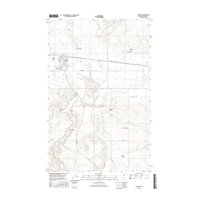 2017 Chinook2017 Print · USGSCovers Chinook, including Blaine County, United States, and other nearby areas
 - 2020 Map of Chinook, 2020 Print
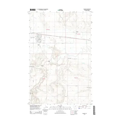
 2020 Chinook2020 Print · USGSCovers Chinook, including Blaine County, United States, and other nearby areas
 - 2024 Map of Chinook, 2024 Print
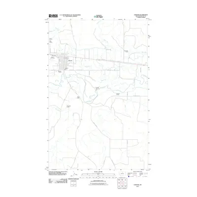
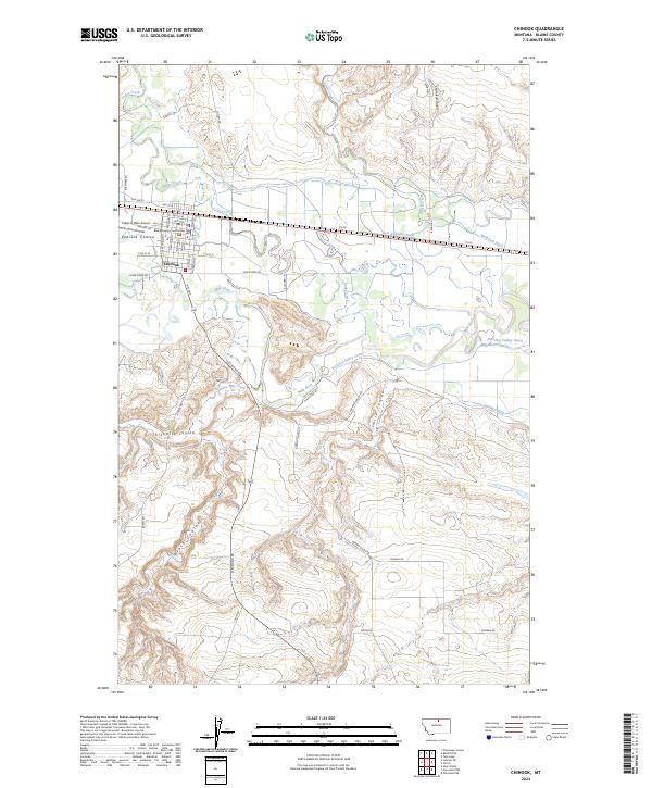 2024 Chinook2024 Print · USGSChinook and the surrounding plains of Blaine County appear here in the early twenty-first century, centered on the Milk River valley. Researchers can trace local landmarks like the Blaine County Courthouse or the extensive irrigation network of the Fort Belknap Canal.
End of results
Showing maps 1-12 of 12
Frequently asked questions
- What are the different types of historical maps available for Chinook?
- What is the oldest map of Chinook?
- Where can I purchase historical maps of Chinook for my home or office?
- Where can I download high-res historical maps of Chinook?
- Are there historical topographic maps available for Chinook?
- Is there historical aerial imagery available for Chinook?
- Where are historical maps of Chinook sourced from?