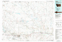
1984 Map of Havre
USGS Topo · Published 1984About this map
The Milk River valley serves as the primary corridor for settlement and industry in this northern Montana landscape, where the Burlington Northern railroad links the towns of Havre and Chinook. The area reflects a complex management of land and water, featuring the expansive Fresno Reservoir and several protected zones like the Lake Thibadeau National Wildlife Refuge. Beyond the river valley, the terrain is defined by an intricate network of coulees, including Lohman Coulee and Woodpile Coulee, which drain the high plains toward the river.
Find a feature on this map
50 named features on this map. Tap any name to fly to it.
Don’t see what you’re looking for? This feature index may not catch every label — zoom into the map to look around manually.
Map Details
Editions of this 1984 Havre Map
This is the sole edition of this map. No revisions or reprints were ever made.
Other maps of this area
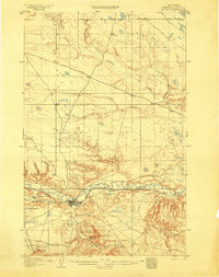
1904 · Yantic
USGS Topo · 1:62,500
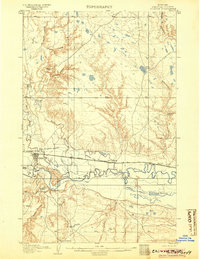
1904 · Chinook
USGS Topo · 1:62,500
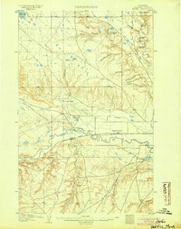
1904 · Havre
USGS Topo · 1:62,500
1904 · Assinniboine
USGS Topo · 1:62,500

1904 · Boxelder
USGS Topo · 1:62,500
1905 · Harlem
USGS Topo · 1:62,500
1906 · Kremlin
USGS Topo · 1:62,500

1906 · Boxelder
USGS Topo · 1:62,500

1912 · Zurich
USGS Topo · 1:125,000

1912 · Thibedeau Lake
USGS Topo · 1:125,000