Old Maps of Richel Lodge, Montana for Academic Research
Study the evolution of Richel Lodge with 12 high-resolution historic maps. Whether you're teaching, researching, or modeling changes in land use, these maps provide essential visual documentation of urban, environmental, and geographic change.
- Analyze long-term change: Track patterns in development, transportation, and natural features.
- Ideal for environmental or urban studies: Support academic projects with primary historical map data.
- Use in the classroom or lab: Educators and researchers rely on these maps to bring historical context to life.
These maps are a powerful tool for teaching, research, and visualizing how Richel Lodge has changed over the decades.
Richel Lodge, MT maps
(12)- 1954 Map of Billings, 1963 Print
 1954 Billings1963 Print · USGSThe Yellowstone valley during the mid-fifties shows a landscape of thriving rail towns and high-mountain outposts. Genealogists and historians can trace old homesteads and mining routes near Red Lodge, Bearcreek, and along the Bighorn River.4 unique versions available
 - 1956 Map of Mount Maurice, 1958 Print
 1956 Mount Maurice1958 Print · USGSRed Lodge sits at the edge of the Beartooth Front in the mid-1950s, a hub for high-country research and recreation. Genealogists and historians can trace local landmarks like Draper Sch, the Red Lodge Cemetery, and Camp Senia along the mountain foothills.4 unique versions available
 - 1957 Map of Billings
 1957 Billings1957 Print · USGSThe Yellowstone River valley and the rugged Beartooth Mountains meet in the mid-1950s near the growing hub of Billings. Genealogists and researchers can trace rail and ranching history through river towns like Columbus, the mining heritage of Red Lodge, and the vast Crow Indian Reservation.
 - 1958 Map of Billings
 1958 Billings1958 Print · USGSMid-century Montana comes alive in this survey of the Yellowstone Valley as the regional rail and road networks reached their peak. Trace family roots and old routes near Billings, the Crow Indian Reservation, and the heights of the Beartooth Mountains.2 unique versions available
 - 1986 Map of Black Pyramid Mountain
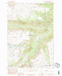 1986 Black Pyramid Mountain1986 Print · USGSThe high Beartooth Mountains near the Montana-Wyoming line are shown in the mid-eighties as a landscape of alpine plateaus and remote mineral exploration. Researchers can trace historic access via Pack Trail routes leading to Open Pit Mines and the shores of Snowbank Lake.2 unique versions available
 - 1989 Map of Red Lodge
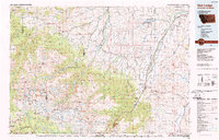 1989 Red Lodge1989 Print · USGSThe Beartooth Mountains and the Montana-Wyoming border come alive in this late 1980s map of the high plateau country. Genealogists and historians can trace the mining history of Bearcreek through the Brophy Mine and Foster Mine or locate the rural Church Hill.
 - 1996 Map of Black Pyramid Mountain, 1999 Print
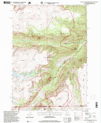 1996 Black Pyramid Mountain1999 Print · USGSThe high Beartooth range along the Montana and Wyoming border comes into focus in the mid-nineties. Researchers can locate alpine mining sites like the Open Pit Mines and Prospect alongside landmarks such as Black Pyramid Mountain and Greenough Lake.
 - 2011 Map of Black Pyramid Mountain, 2011 Print
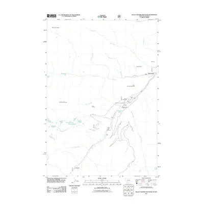 2011 Black Pyramid Mountain2011 Print · USGSThe Beartooth high country is captured here during the early twenty-first century, showing a landscape defined by recreational campgrounds and mining history. Researchers can locate remote sites like the Edsel Mine and Gallon Jug Mine, or trace the access to Richel Lodge.
 - 2014 Map of Black Pyramid Mountain, 2014 Print
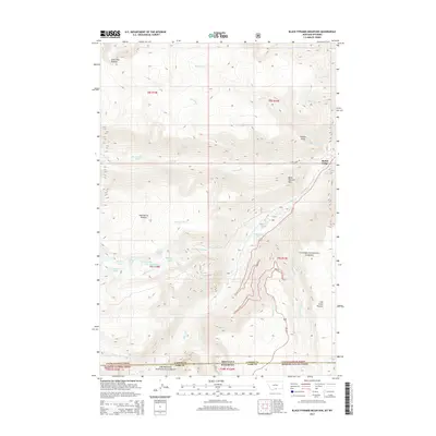 2014 Black Pyramid Mountain2014 Print · USGSThe high Beartooth wilderness is captured here just as the new century's first decade concluded, straddling the line between Montana and Wyoming. Hikers and historians can trace routes near Richel Lodge or locate remote alpine waters like Hellroaring Lake and Greenough Lake.
 - 2017 Map of Black Pyramid Mountain, 2017 Print
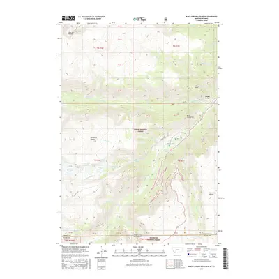 2017 Black Pyramid Mountain2017 Print · USGSThe high alpine borderlands of Montana and Wyoming come to life in this survey of the Beartooth region. Historians and hikers can trace the paths to Richel Lodge or locate remote high-country water like Broadwater Lake and Greenough Lake.
 - 2020 Map of Black Pyramid Mountain, 2020 Print
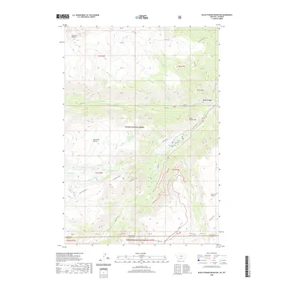 2020 Black Pyramid Mountain2020 Print · USGSThe high Montana-Wyoming borderlands are captured here in 2020, where federal forests meet at the state line. Backcountry researchers can trace the routes around Richel Lodge or navigate the high-elevation terrain of Black Pyramid Mtn and the Hellroaring Plateau.
 - 2024 Map of Black Pyramid Mountain, 2024 Print
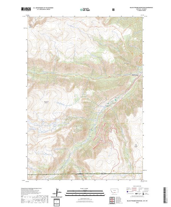 2024 Black Pyramid Mountain2024 Print · USGSThe high Beartooth Mountains at the Montana-Wyoming border are shown here in the mid-2020s, dominated by massive alpine plateaus and glacial lakes. Researchers can trace the trails and primitive routes around Richel Lodge, Broadwater Lake, and the heights of Black Pyramid Mtn.
End of results
Showing maps 1-12 of 12
Top cities near Richel Lodge
Frequently asked questions
- What are the different types of historical maps available for Richel Lodge?
- What is the oldest map of Richel Lodge?
- Where can I purchase historical maps of Richel Lodge for my home or office?
- Where can I download high-res historical maps of Richel Lodge?
- Are there historical topographic maps available for Richel Lodge?
- Is there historical aerial imagery available for Richel Lodge?
- Where are historical maps of Richel Lodge sourced from?