Old Maps of Peerless, Montana
Explore 9 old maps of Peerless, spanning from 1954 to today. These high-resolution historic maps reveal how streets, neighborhoods, landmarks, and natural features evolved over time — perfect for genealogy, metal detecting, research, and local history exploration.
What you can do with these maps:
- See how Peerless changed over time: Compare historical maps to modern-day views to trace roads, homesites, rail lines & more.
- View detailed metadata: Each map includes creators, publishers, year, scale, and archive source.
- Overlay maps with satellite & LiDAR: Visualize the past alongside modern tools to explore terrain & human change.
- Trusted historical sources: Maps sourced from the USGS, Library of Congress, and other archives.
- Access maps your way: View online, download high-res files, or order prints for personal or research use.
Start exploring old maps of Peerless to uncover forgotten places, hidden landmarks, and the deep history beneath your feet.
Peerless, MT maps
(9)- 1954 Map of Wolf Point, 1967 Print
 1954 Wolf Point1967 Print · USGSNortheastern Montana and the North Dakota borderlands are shown here in the mid-fifties, dominated by the Missouri River and the Fort Peck Indian Reservation. Genealogists and historians can trace the Great Northern rail line through river towns like Poplar and Culbertson or locate northern border outposts like the U S Custom Office at Raymond.2 unique versions available
 - 1958 Map of Wolf Point
 1958 Wolf Point1958 Print · USGSNortheastern Montana is shown during the mid-fifties, featuring the extensive Fort Peck Indian Reservation and the Missouri River valley. Researchers can trace the Great Northern railroad through Wolf Point or locate sites like Slab Crossing and the Coal Mine near Medicine Lake.
 - 1973 Map of Peerless, 1976 Print
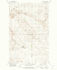 1973 Peerless1976 Print · USGSDaniels County ranching and rail life are centered on the plains of northeastern Montana during the early seventies. Genealogists and local historians can trace the grain-handling economy of Peerless and landmarks like Wild Horse Butte and Slaughter Hill.
 - 1983 Map of Scobey, 1984 Print
 1983 Scobey1984 Print · USGSNorthern Montana prairie life during the early eighties centered on the grain-hauling rail lines and the winding Poplar River forks. Genealogists and historians can trace old homesteads near Whitetail, Peerless, and the Fort Peck Indian Reservation Boundary.
 - 2011 Map of Peerless, 2011 Print
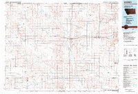
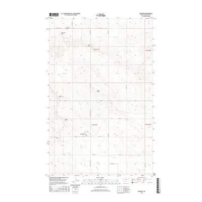
 2011 Peerless2011 Print · USGSCovers Peerless, including Daniels County, United States, and other nearby areas
 - 2014 Map of Peerless, 2014 Print
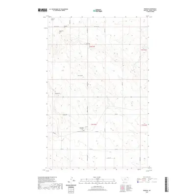
 2014 Peerless2014 Print · USGSCovers Peerless, including Daniels County, United States, and other nearby areas
 - 2017 Map of Peerless, 2017 Print
 2017 Peerless2017 Print · USGSCovers Peerless, including Daniels County, United States, and other nearby areas
 - 2020 Map of Peerless, 2020 Print
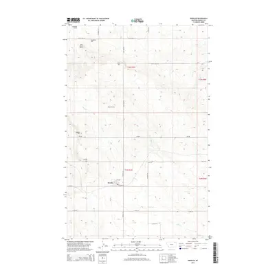
 2020 Peerless2020 Print · USGSCovers Peerless, including Daniels County, United States, and other nearby areas
 - 2024 Map of Peerless, 2024 Print
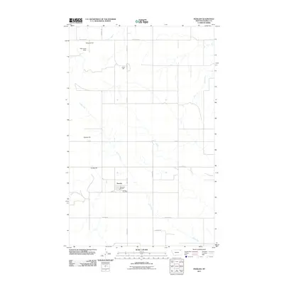
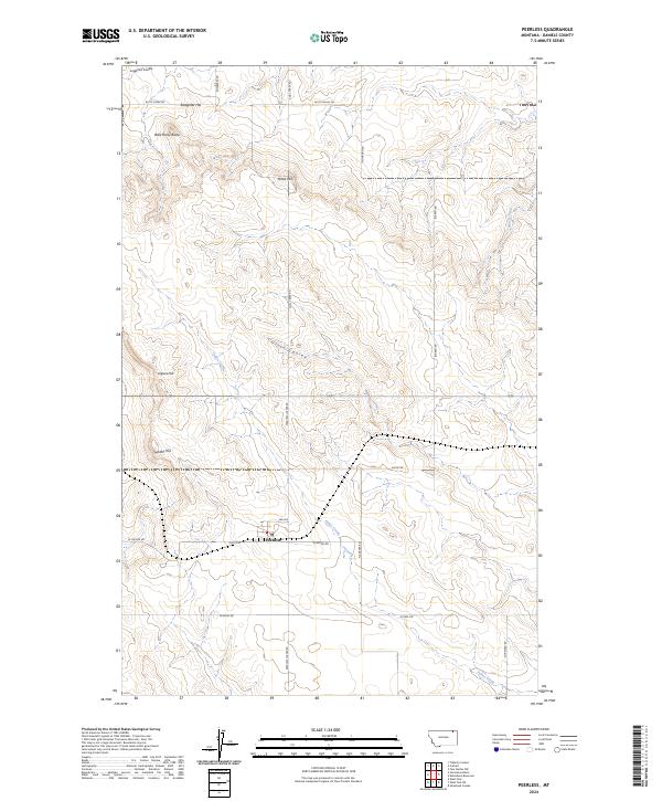 2024 Peerless2024 Print · USGSPeerless and the surrounding prairie of Daniels County appear in this recent survey of northern Montana. Researchers can locate the PO in the town of Peerless or trace the geography of the plains through landmarks like Slaughter Hill and Wild Horse Butte.
End of results
Showing maps 1-9 of 9
Top cities near Peerless
Frequently asked questions
- What are the different types of historical maps available for Peerless?
- What is the oldest map of Peerless?
- Where can I purchase historical maps of Peerless for my home or office?
- Where can I download high-res historical maps of Peerless?
- Are there historical topographic maps available for Peerless?
- Is there historical aerial imagery available for Peerless?
- Where are historical maps of Peerless sourced from?