Old Maps of Scobey, Montana for Hiking & Exploration
Hike through history with 9 historic maps of Scobey. Explore old trails, ghost towns, and forgotten backroads — perfect for outdoor adventurers and local explorers.
- Rediscover forgotten places: Map out old mining camps, roads, and footpaths that no longer exist on modern maps.
- Layer with modern tools: Combine with LiDAR or satellite views to plan hikes through historical terrain.
- Made for exploration: Popular among hikers, overlanders, and local history lovers.
Use these maps to find adventure and explore the hidden past of Scobey.
Scobey, MT maps
(9)- 1954 Map of Wolf Point, 1967 Print
 1954 Wolf Point1967 Print · USGSNortheastern Montana and the North Dakota borderlands are shown here in the mid-fifties, dominated by the Missouri River and the Fort Peck Indian Reservation. Genealogists and historians can trace the Great Northern rail line through river towns like Poplar and Culbertson or locate northern border outposts like the U S Custom Office at Raymond.2 unique versions available
 - 1958 Map of Wolf Point
 1958 Wolf Point1958 Print · USGSNortheastern Montana is shown during the mid-fifties, featuring the extensive Fort Peck Indian Reservation and the Missouri River valley. Researchers can trace the Great Northern railroad through Wolf Point or locate sites like Slab Crossing and the Coal Mine near Medicine Lake.
 - 1973 Map of Scobey, 1976 Print
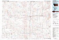
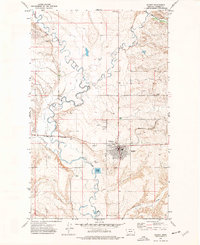 1973 Scobey1976 Print · USGSDaniels County in the 1970s shows a well-established prairie hub centered at Scobey. Researchers can trace the local infrastructure of the era, from the Burlington Northern tracks to the County Fairground and Airport.
 - 1983 Map of Scobey, 1984 Print
 1983 Scobey1984 Print · USGSNorthern Montana prairie life during the early eighties centered on the grain-hauling rail lines and the winding Poplar River forks. Genealogists and historians can trace old homesteads near Whitetail, Peerless, and the Fort Peck Indian Reservation Boundary.
 - 2011 Map of Scobey, 2011 Print
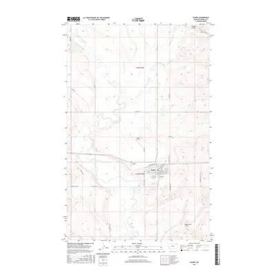
 2011 Scobey2011 Print · USGSCovers Scobey, including Daniels County, United States, and other nearby areas
 - 2014 Map of Scobey, 2014 Print
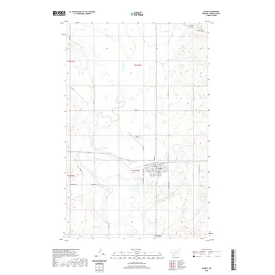
 2014 Scobey2014 Print · USGSCovers Scobey, including Daniels County, United States, and other nearby areas
 - 2017 Map of Scobey, 2017 Print
 2017 Scobey2017 Print · USGSCovers Scobey, including Daniels County, United States, and other nearby areas
 - 2020 Map of Scobey, 2020 Print
 2020 Scobey2020 Print · USGSCovers Scobey, including Daniels County, United States, and other nearby areas
 - 2024 Map of Scobey, 2024 Print
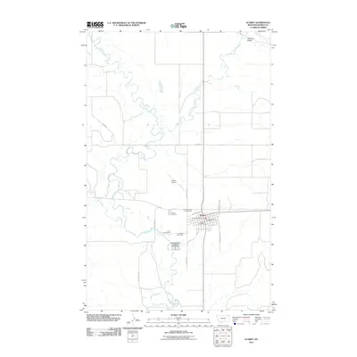
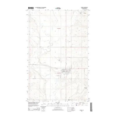
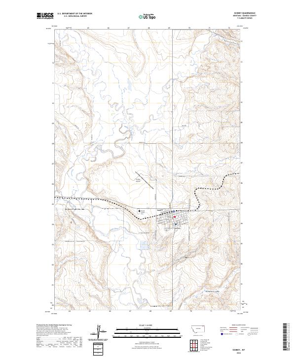 2024 Scobey2024 Print · USGSScobey remains a vital prairie hub in Daniels County during the early twenty-first century, anchored by its river systems and civic center. Researchers can trace the town grid and local landmarks like the Daniels County Courthouse, Daniels County Cem, and Scobey Airport.
End of results
Showing maps 1-9 of 9
Top cities near Scobey
Frequently asked questions
- What are the different types of historical maps available for Scobey?
- What is the oldest map of Scobey?
- Where can I purchase historical maps of Scobey for my home or office?
- Where can I download high-res historical maps of Scobey?
- Are there historical topographic maps available for Scobey?
- Is there historical aerial imagery available for Scobey?
- Where are historical maps of Scobey sourced from?