Old Maps of Glendive, Montana for Academic Research
Study the evolution of Glendive with 17 high-resolution historic maps. Whether you're teaching, researching, or modeling changes in land use, these maps provide essential visual documentation of urban, environmental, and geographic change.
- Analyze long-term change: Track patterns in development, transportation, and natural features.
- Ideal for environmental or urban studies: Support academic projects with primary historical map data.
- Use in the classroom or lab: Educators and researchers rely on these maps to bring historical context to life.
These maps are a powerful tool for teaching, research, and visualizing how Glendive has changed over the decades.
Glendive, MT maps
(17)- 1909 Map of Glendive
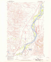
 1909 Glendive1909 Print · USGSThe confluence of the Missouri and Yellowstone rivers in the first decade of the twentieth century shows a region of scattered ranches and emerging river towns. Genealogists can trace family landmarks like Cavanaughs Ranch or Nortons Ranch and find early resource sites like the Coal Mine.
 - 1954 Map of Glendive, 1967 Print
 1954 Glendive1967 Print · USGSEastern Montana at mid-century shows a landscape of river-valley commerce and remote prairie ranching. Researchers can trace the legacy of rural education and transport through sites like Prairie Elk School, the Great Northern rail lines, and Circle.2 unique versions available
 - 1957 Map of Glendive
 1957 Glendive1957 Print · USGSEastern Montana in the mid-1950s is defined by its deep river valleys and a sprawling network of rural school districts. You can trace the path of the Great Northern railroad and locate vanished local landmarks like Breezy Flat School and Newton Junction.
 - 1958 Map of Glendive
 1958 Glendive1958 Print · USGSEastern Montana and the North Dakota borderlands come alive in the late fifties, showing the agricultural heart of the Yellowstone valley. Trace the legacy of rural education through Kimmel School and Ridgelawn School or locate rail hubs in Glendive and Sidney.
 - 1967 Map of Stipek, 1970 Print
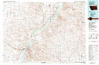
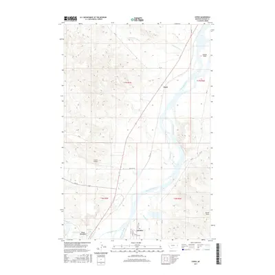
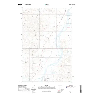
 1967 Stipek1970 Print · USGSDawson County in the late sixties shows the Yellowstone River valley as it transitions from the industrial edge of Glendive to quiet rural reaches. Genealogists and historians can trace the Northern Pacific tracks past Stipek or locate the Deer Creek Sch and the high vantage of Custers Lookout.
 - 1967 Map of Glendive, 1970 Print
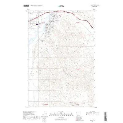
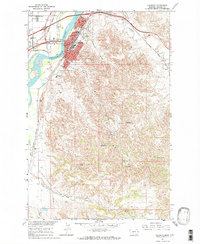 1967 Glendive1970 Print · USGSThe Yellowstone River Valley and the city of Glendive are captured here during the late 1960s. Researchers can trace local development through the Lincoln Sch, the Courthouse, and the rail infrastructure of the Northern Pacific.2 unique versions available
 - 1981 Map of Glendive
 1981 Glendive1981 Print · USGSEastern Montana and the North Dakota border come into focus in the early 1980s, centered on the Yellowstone River corridor. Researchers can trace rural schoolhouses like Green School, early aviation sites at Savage Airport, and the industrial footprint of the Burlington Northern rail line.
 - 2011 Map of Glendive, 2011 Print
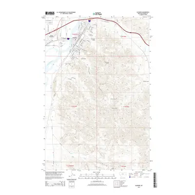
 2011 Glendive2011 Print · USGSCovers Glendive, including Casitas Del Rio, Highland Mobile Home Park, and other nearby areas
 - 2011 Map of Stipek, 2011 Print
 2011 Stipek2011 Print · USGSCovers Glendive, including Stipek, Dawson County, and other nearby areas
 - 2014 Map of Glendive, 2014 Print
 2014 Glendive2014 Print · USGSCovers Glendive, including Casitas Del Rio, Highland Mobile Home Park, and other nearby areas
 - 2014 Map of Stipek, 2014 Print
 2014 Stipek2014 Print · USGSCovers Glendive, including Stipek, Dawson County, and other nearby areas
 - 2017 Map of Glendive, 2017 Print
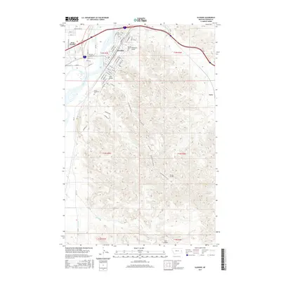 2017 Glendive2017 Print · USGSCovers Glendive, including Casitas Del Rio, Highland Mobile Home Park, and other nearby areas
 - 2017 Map of Stipek, 2017 Print
 2017 Stipek2017 Print · USGSCovers Glendive, including Stipek, Dawson County, and other nearby areas
 - 2020 Map of Glendive, 2020 Print
 2020 Glendive2020 Print · USGSCovers Glendive, including Casitas Del Rio, Highland Mobile Home Park, and other nearby areas
 - 2020 Map of Stipek, 2020 Print
 2020 Stipek2020 Print · USGSCovers Glendive, including Stipek, Dawson County, and other nearby areas
 - 2024 Map of Stipek, 2024 Print
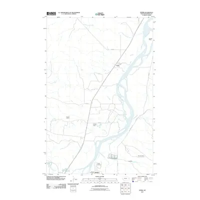
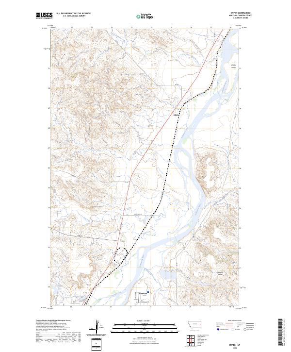 2024 Stipek2024 Print · USGSThe Yellowstone River valley north of Glendive comes into focus during this modern era, showing the transition from city outskirts to the river-cut plains. Researchers can trace the local roads and landmarks of Dawson County like Stipek, Custers Lookout, and Schaffer Island.
 - 2024 Map of Glendive, 2024 Print
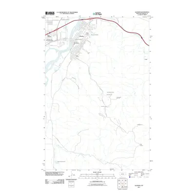
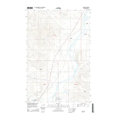
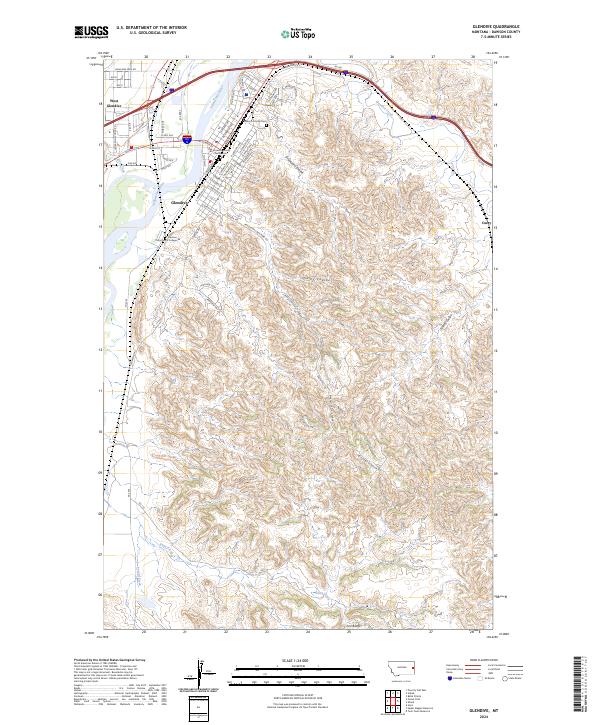 2024 Glendive2024 Print · USGSThe Yellowstone River valley and the badlands of eastern Montana meet in this 2024 look at the Dawson County seat. Trace the streets of Glendive from the Dawson County Courthouse to the Dawson County Cem and the Iron Bluffs.
End of results
Showing maps 1-17 of 17
Top neighborhoods of Glendive
Frequently asked questions
- What are the different types of historical maps available for Glendive?
- What is the oldest map of Glendive?
- Where can I purchase historical maps of Glendive for my home or office?
- Where can I download high-res historical maps of Glendive?
- Are there historical topographic maps available for Glendive?
- Is there historical aerial imagery available for Glendive?
- Where are historical maps of Glendive sourced from?