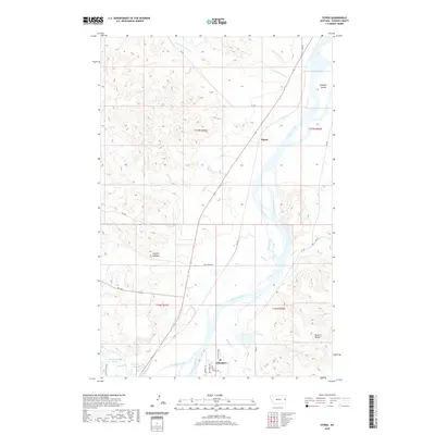
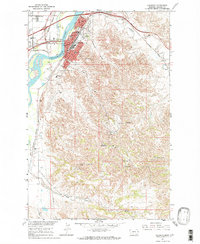
2020 Map of Stipek
USGS Topo · Published 2020About this map
The Yellowstone River cuts a wide path through this portion of eastern Montana, shaping a landscape defined by dramatic breaks and riparian bottomlands. Near the southern edge, the settlement of Glendive serves as a focal point, where Glendive Creek and Crisafulli Creek converge with the main river channel. This area is characterized by distinct topographical landmarks like Bryants Buttes and the high vantage point of Custers Lookout, which overlook the complex drainage systems of Deer Creek and Cotton Creek. North along the river, Schaffer Island sits near the small community of Stipek, illustrating the importance of the river corridor for local transport and settlement. Irrigation and water management are evident through features such as Crisafulli Lake and Hollecker Lake, which support the agricultural life of Dawson County.
Find a feature on this map
32 named features on this map. Tap any name to fly to it.
Don’t see what you’re looking for? This feature index may not catch every label — zoom into the map to look around manually.
Map Details
Editions of this 2020 Stipek Map
This is the sole edition of this map. No revisions or reprints were ever made.
Other maps of this area
1909 · Glendive
USGS Topo · 1:250,000

1954 · Glendive
USGS Topo · 1:250,000

1957 · Glendive
USGS Topo · 1:250,000
1958 · Glendive
USGS Topo · 1:250,000
1966 · Kolberg Ranch
USGS Topo · 1:24,000
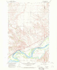
1966 · Intake
USGS Topo · 1:24,000
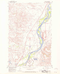
1967 · Stipek
USGS Topo · 1:24,000
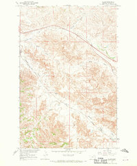
1967 · Allard
USGS Topo · 1:24,000
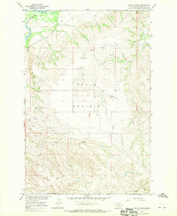
1967 · Belle Prairie
USGS Topo · 1:24,000
1967 · Glendive
USGS Topo · 1:24,000