Old Maps of West Valley, Montana for Academic Research
Study the evolution of West Valley with 13 high-resolution historic maps. Whether you're teaching, researching, or modeling changes in land use, these maps provide essential visual documentation of urban, environmental, and geographic change.
- Analyze long-term change: Track patterns in development, transportation, and natural features.
- Ideal for environmental or urban studies: Support academic projects with primary historical map data.
- Use in the classroom or lab: Educators and researchers rely on these maps to bring historical context to life.
These maps are a powerful tool for teaching, research, and visualizing how West Valley has changed over the decades.
West Valley, MT maps
(13)- 1908 Map of Philipsburg
 1908 Philipsburg1908 Print · USGSGranite County at the height of its mining era features a landscape shaped by mineral wealth and the high peaks of the Divide. Genealogists and historians can trace industrial roots at Philipsburg, Southern Cross, and the Stamp Mill near Combination.3 unique versions available
 - 1947 Map of Butte, 1949 Print
 1947 Butte1949 Print · USGSWestern Montana at the peak of its rail-and-river era shows the vital connections between the mining and industrial centers of Butte and Helena. Researchers can trace the three major railroad lines serving mountain settlements like Garrison, Philipsburg, and Warm Springs.2 unique versions available
 - 1958 Map of Butte
 1958 Butte1958 Print · USGSWestern Montana's mining and rail corridors are captured in the late fifties, from the urban bustle of the Copper King cities to high mountain passes. Researchers can trace the path of the Milwaukee St Paul and Pacific through Deer Lodge and locate remote outposts like Potomac Post Office.5 unique versions available
 - 1960 Map of Butte
 1960 Butte1960 Print · USGSWestern Montana at the dawn of the sixties is defined by its industrial mining hubs and the railroads that connect them. Genealogists and historians can trace the routes of the Milwaukee Road through Butte or locate smaller settlements like Southern Cross and Bearmouth.
 - 1962 Map of Butte
 1962 Butte1962 Print · USGSWestern Montana in the early sixties remains a landscape of industrial muscle and high-mountain passes. Trace the rail lines of the Northern Pacific through Deer Lodge and the mining history around Anaconda and Philipsburg.
 - 1971 Map of West Valley, 1973 Print
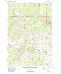 1971 West Valley1973 Print · USGSDuring the early 1970s, the industrial valley near Deer Lodge was defined by the Butte Anaconda and Pacific railroad and active Mines. Trace the rail-side life of West Valley, find Stump Town, or locate the Garrity Cave and Meyers Dam.2 unique versions available
 - 1993 Map of Philipsburg, 1994 Print
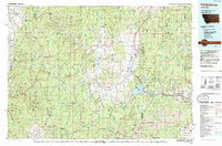 1993 Philipsburg1994 Print · USGSThe mining and mountain country of Granite County is captured in the early nineties, showing a landscape defined by timber and mineral wealth. You can trace historical mining operations at the Black Pine Mine and Cable Mine or locate early settlements like Maxville and Southern Cross.
 - 1996 Map of West Valley, 1998 Print
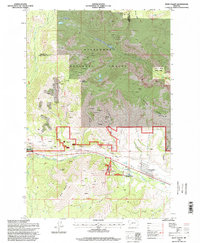 1996 West Valley1998 Print · USGSDeer Lodge County in the mid-1990s reveals a complex landscape where deep mountain prospecting meets the developing valley floor. Researchers can trace the layout of Stump Town, find the Drive-in Theater, and locate numerous mine workings along Blue Eyed Nellie Gulch.
 - 2011 Map of West Valley, 2011 Print
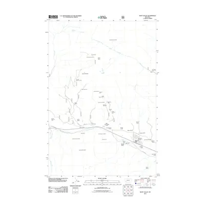 2011 West Valley2011 Print · USGSThe mining camps and mountain gulches of Deer Lodge County are captured here during a period of modern transition. Researchers can trace dozens of historical mining sites like the Blue Eyed Nellie Mine and Homestake Mine, or locate family roots in Stump Town and West Valley.
 - 2014 Map of West Valley, 2014 Print
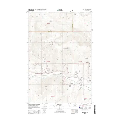 2014 West Valley2014 Print · USGSDeer Lodge County’s high country is captured here in the early twenty-first century, showing the intersection of mountain terrain and small settlements. Genealogists and local historians can trace residents through West Valley and Stump Town, or locate landmarks like Hatcher Field and Stucky Ridge.
 - 2017 Map of West Valley, 2017 Print
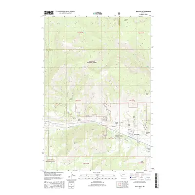 2017 West Valley2017 Print · USGSDeer Lodge County shows a mix of mountain terrain and residential clusters in the late 2010s. Researchers can trace the layout of West Valley, find Stump Town, and follow the deep cuts of Blue Eyed Nellie Gulch and Ice House Gulch into the forest.
 - 2020 Map of West Valley, 2020 Print
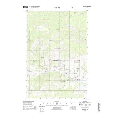 2020 West Valley2020 Print · USGSDeer Lodge County's high country is captured here in the early twenty-first century as it transitions from the national forest to the valley floor. Researchers can trace historical routes like Cable Road and locate the small settlements of West Valley and Stump Town.
 - 2024 Map of West Valley, 2024 Print
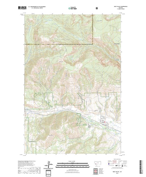 2024 West Valley2024 Print · USGSDeer Lodge County in the 2020s shows a high-altitude landscape where mountain ridges meet the valley floor. Researchers can trace the modern development of West Valley and Stump Town or locate landmarks like Hatcher Field and Garrity Mtn.
End of results
Showing maps 1-13 of 13
Top cities near West Valley
Frequently asked questions
- What are the different types of historical maps available for West Valley?
- What is the oldest map of West Valley?
- Where can I purchase historical maps of West Valley for my home or office?
- Where can I download high-res historical maps of West Valley?
- Are there historical topographic maps available for West Valley?
- Is there historical aerial imagery available for West Valley?
- Where are historical maps of West Valley sourced from?