Old Maps of Glengarry, Montana for Hiking & Exploration
Hike through history with 9 historic maps of Glengarry. Explore old trails, ghost towns, and forgotten backroads — perfect for outdoor adventurers and local explorers.
- Rediscover forgotten places: Map out old mining camps, roads, and footpaths that no longer exist on modern maps.
- Layer with modern tools: Combine with LiDAR or satellite views to plan hikes through historical terrain.
- Made for exploration: Popular among hikers, overlanders, and local history lovers.
Use these maps to find adventure and explore the hidden past of Glengarry.
Glengarry, MT maps
(9)- 1954 Map of Lewistown, 1967 Print
 1954 Lewistown1967 Print · USGSCentral Montana at the height of the mid-century rail era reveals a landscape shaped by the Judith River and high mountain ranges. Trace the old lines of the Great Northern through Lewistown and Denton, or locate sites like Giltedge and Landusky.3 unique versions available
 - 1959 Map of Lewistown
 1959 Lewistown1959 Print · USGSCentral Montana in the mid-1950s shows a landscape defined by the winding Missouri River and the rise of the South Moccasin Mtns. Researchers can trace the rail lines of the Great Northern through towns like Winifred and locate the Cat Creek Oil Field.3 unique versions available
 - 1970 Map of Glengarry, 1973 Print
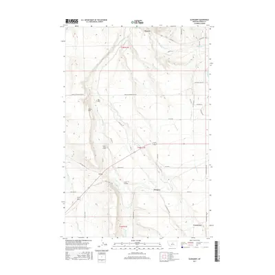
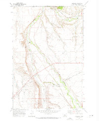 1970 Glengarry1973 Print · USGSFergus County's rail-and-creek landscape is captured here in the early seventies as the railroad still shaped local commerce. Genealogists and researchers can trace the tracks of the Chicago Milwaukee St Paul and Pacific past Hanover, Glengarry, and the McMillian Ditch.
 - 1978 Map of Lewistown, 1994 Print
 1978 Lewistown1994 Print · USGSThe heart of central Montana comes alive in the late seventies, centered on the hub of Lewistown and the high summits of the Judith Mountains. Researchers can trace the Burlington Northern rail lines and locate specific regional landmarks like Giltedge, Spring Creek Colony, and Moccasin.
 - 2011 Map of Glengarry, 2011 Print
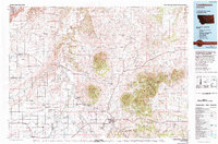
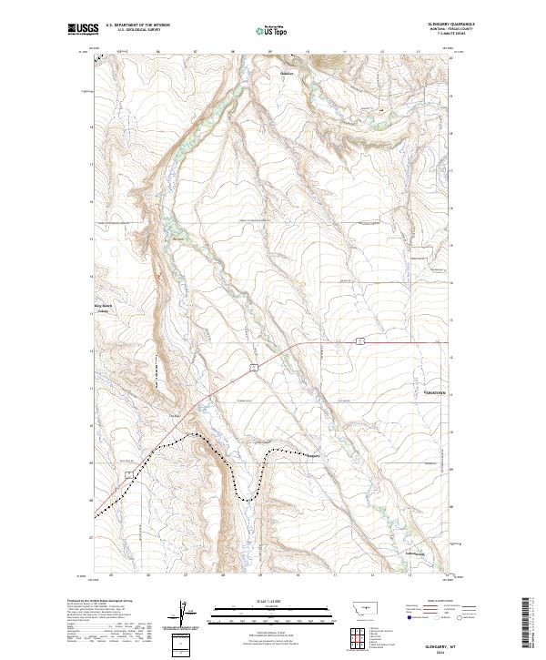
 2011 Glengarry2011 Print · USGSCovers Glengarry, including Cottonwood, Hanover, and other nearby areas
 - 2014 Map of Glengarry, 2014 Print
 2014 Glengarry2014 Print · USGSCovers Glengarry, including Cottonwood, Hanover, and other nearby areas
 - 2017 Map of Glengarry, 2017 Print
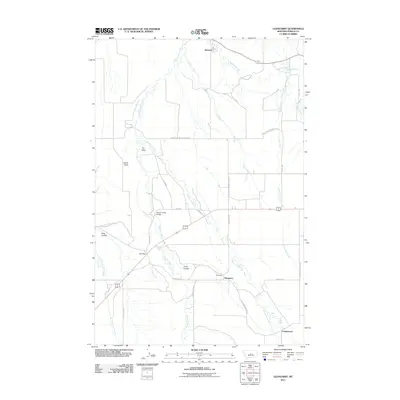
 2017 Glengarry2017 Print · USGSCovers Glengarry, including Cottonwood, Hanover, and other nearby areas
 - 2020 Map of Glengarry, 2020 Print
 2020 Glengarry2020 Print · USGSCovers Glengarry, including Cottonwood, Hanover, and other nearby areas
 - 2024 Map of Glengarry, 2024 Print
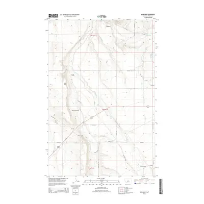
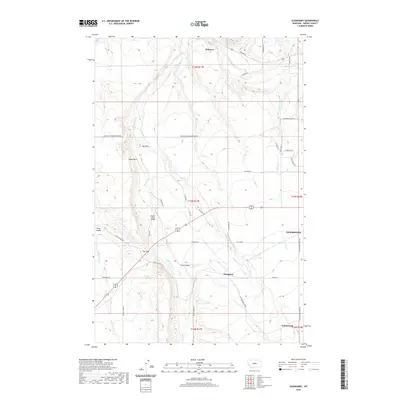
 2024 Glengarry2024 Print · USGSThe Fergus County plains unfold in this recent survey, capturing the rural reaches near Lewistown. Trace local heritage through the King Ranch Colony and Glengarry, or follow the waters of Big Spring Creek and Beaver Creek.
End of results
Showing maps 1-9 of 9
Top cities near Glengarry
Frequently asked questions
- What are the different types of historical maps available for Glengarry?
- What is the oldest map of Glengarry?
- Where can I purchase historical maps of Glengarry for my home or office?
- Where can I download high-res historical maps of Glengarry?
- Are there historical topographic maps available for Glengarry?
- Is there historical aerial imagery available for Glengarry?
- Where are historical maps of Glengarry sourced from?