Old Maps of Blacktail, Montana for Metal Detecting
Plan your next treasure hunt with 12 historic maps of Blacktail. Find old homesites, ghost towns, trails, and gathering spots that may be lost to time — perfect for identifying promising metal detecting locations.
- Locate forgotten sites: Uncover places like long-lost settlements, abandoned rail lines, or gathering spots.
- Plan better hunts: Use map overlays combined with LiDAR or satellite views to narrow in on historically rich areas.
- Made for detectorists: Thousands of hobbyists use these maps to discover relics, coins, and hidden history.
Use these historic maps to boost your research and find new opportunities beneath the surface of Blacktail.
Blacktail, MT maps
(12)- 1913 Map of Marias Pass
 1913 Marias Pass1913 Print · USGSThe Continental Divide and the Great Northern Railroad meet at the crest of the Rockies in the years just after Glacier's establishment. Local historians can trace early rail stations like Lubec, the Midvale settlement, and remote outposts such as Three Forks Rangers Cabin.3 unique versions available
 - 1960 Map of Cut Bank, 1968 Print
 1960 Cut Bank1968 Print · USGSThe high peaks of the Rockies meet the eastern plains in the 1960s, showing the intersection of federal lands and the Blackfeet Indian Reservation. Trace the path of the Great Northern railway and find local landmarks like the Blackfoot Boarding School and Family Mission Cem.3 unique versions available
 - 1963 Map of Cut Bank
 1963 Cut Bank1963 Print · USGSNorthern Montana’s mountain passes and high plains are captured here in the early 1960s. Genealogists and historians can trace the Great Northern rail stops from Browning to Ethridge or locate the remote outposts at Polebridge and Babb.
 - 1964 Map of Cut Bank
 1964 Cut Bank1964 Print · USGSGlacier National Park and the Blackfeet Indian Reservation meet in the early sixties at the triple divide of North America. Researchers can trace the Great Northern Railway through mountain passes and locate local landmarks like the Blackfoot Boarding School and Apgar Village.
 - 1968 Map of Blacktail, 1971 Print
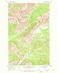 1968 Blacktail1971 Print · USGSThe high Montana wilderness meets the iron rail in the late sixties along the Continental Divide. Researchers can trace the Burlington Northern line through the Theodore Roosevelt Stevens John Pass, finding snowsheds and the Fielding Patrol Cabin in the deep mountain canyons.2 unique versions available
 - 1981 Map of Hungry Horse Reservoir, 1982 Print
 1981 Hungry Horse Reservoir1982 Print · USGSThe Flathead region in the early eighties shows a wilderness managed through rail and reservoir. Genealogists and historians can trace rail-stop settlements like Nyack, Essex, and Summit along the Burlington Northern line and the John F Stevens Canyon.
 - 1994 Map of Blacktail, 1997 Print
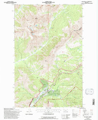 1994 Blacktail1997 Print · USGSGlacier National Park and the surrounding Flathead forestlands are captured here in the mid-1990s as the rail corridor remained a vital artery. Trace the mountain crossings of the Burlington Northern through Theodore Roosevelt Pass and find remote sites like the Fielding Patrol Cabin.
 - 2011 Map of Blacktail, 2011 Print
 2011 Blacktail2011 Print · USGSCovers Blacktail, including Snowslip, Flathead County, and other nearby areas
 - 2014 Map of Blacktail, 2014 Print
 2014 Blacktail2014 Print · USGSCovers Blacktail, including Snowslip, Flathead County, and other nearby areas
 - 2017 Map of Blacktail, 2017 Print
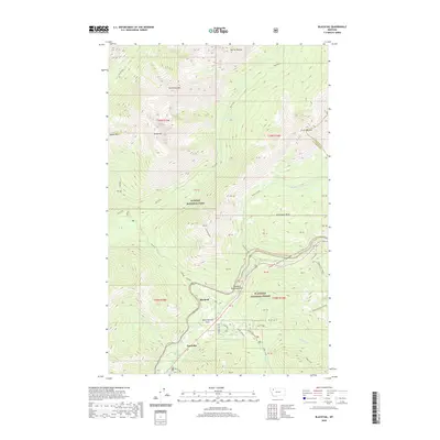
 2017 Blacktail2017 Print · USGSCovers Blacktail, including Snowslip, Flathead County, and other nearby areas
 - 2020 Map of Blacktail, 2020 Print
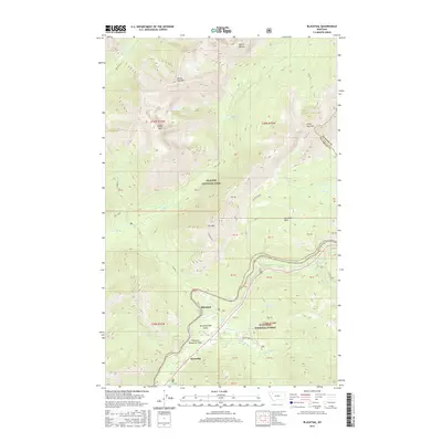
 2020 Blacktail2020 Print · USGSCovers Blacktail, including Snowslip, Flathead County, and other nearby areas
 - 2024 Map of Blacktail, 2024 Print
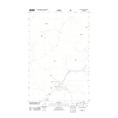
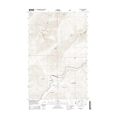
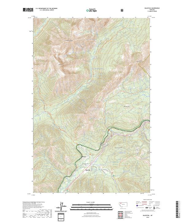 2024 Blacktail2024 Print · USGSThe high mountain passes and wilderness boundaries of Flathead County are documented here in the 2020s. Researchers can trace the rugged corridor through John F Stevens Canyon and locate historic points like McCartysville Flats and the remote settlement at Blacktail.
End of results
Showing maps 1-12 of 12
Top cities near Blacktail
Frequently asked questions
- What are the different types of historical maps available for Blacktail?
- What is the oldest map of Blacktail?
- Where can I purchase historical maps of Blacktail for my home or office?
- Where can I download high-res historical maps of Blacktail?
- Are there historical topographic maps available for Blacktail?
- Is there historical aerial imagery available for Blacktail?
- Where are historical maps of Blacktail sourced from?