Old Maps of Lupfer, Montana for Academic Research
Study the evolution of Lupfer with 11 high-resolution historic maps. Whether you're teaching, researching, or modeling changes in land use, these maps provide essential visual documentation of urban, environmental, and geographic change.
- Analyze long-term change: Track patterns in development, transportation, and natural features.
- Ideal for environmental or urban studies: Support academic projects with primary historical map data.
- Use in the classroom or lab: Educators and researchers rely on these maps to bring historical context to life.
These maps are a powerful tool for teaching, research, and visualizing how Lupfer has changed over the decades.
Lupfer, MT maps
(11)- 1957 Map of Kalispell, 1967 Print
 1957 Kalispell1967 Print · USGSNorthwest Montana in the late fifties showcases a mountain landscape transitioning between wilderness and industry. Genealogists and researchers can trace the Great Northern rail corridor through Kalispell and Whitefish, or locate landmarks like the Montana Soldiers Home and Hungry Horse Reservoir.3 unique versions available
 - 1960 Map of Kalispell
 1960 Kalispell1960 Print · USGSNorthwest Montana in the late fifties is defined by the mountain corridors of the Great Northern Railway and the vast reaches of Glacier National Park. Researchers can trace the legacy of timber and mining towns like Libby, Rexford, and Whitefish, or locate landmarks such as the Snowshoe Mine.
 - 1961 Map of Kalispell
 1961 Kalispell1961 Print · USGSNorthwestern Montana at the start of the 1960s shows a landscape of timber-driven rail towns and the sprawling wild lands of Glacier National Park. Genealogists and historians can trace the route of the Great Northern through mountain passes or locate old settlements like Fortine, Trego, and Warland.
 - 1962 Map of Tally Lake, 1964 Print
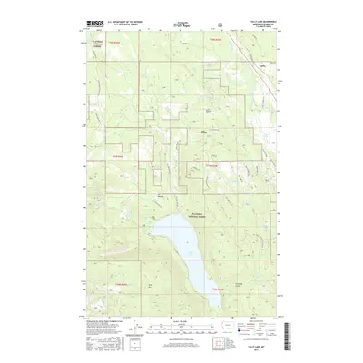
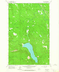 1962 Tally Lake1964 Print · USGSThe northern Flathead National Forest comes to life in the early sixties, centered on the waters of Tally Lake. Researchers can trace old forest infrastructure like the Tally Lake Ranger Station or the Great Northern rail line near Stillwater River.3 unique versions available
 - 1981 Map of Kalispell, 1982 Print
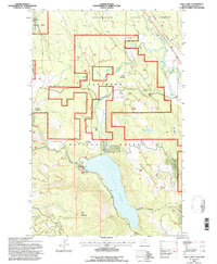
 1981 Kalispell1982 Print · USGSThe Flathead Valley in the early eighties shows a landscape defined by timber, tourism, and transit. Genealogists and historians can trace the growth of Evergreen, Bigfork, and Somers or locate early aviation landmarks like the Glacier Park Intl Airport.
 - 1994 Map of Tally Lake, 1997 Print
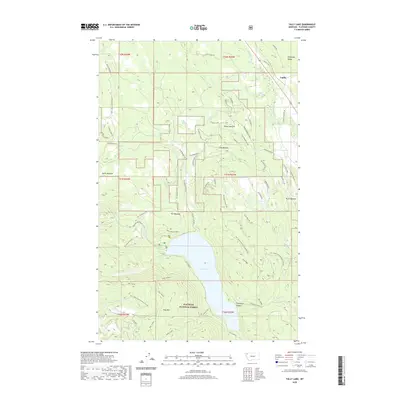
 1994 Tally Lake1997 Print · USGSFlathead County's forest and rail history are preserved here during the mid-nineties, centered on the deep waters of Tally Lake. Researchers can trace the Burlington Northern line through Lupfer or locate seasonal sites like Round Meadow and Chinook Lake.2 unique versions available
 - 2011 Map of Tally Lake, 2011 Print
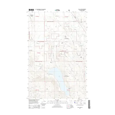
 2011 Tally Lake2011 Print · USGSCovers Lupfer, including Flathead County, United States, and other nearby areas
 - 2014 Map of Tally Lake, 2014 Print
 2014 Tally Lake2014 Print · USGSCovers Lupfer, including Flathead County, United States, and other nearby areas
 - 2017 Map of Tally Lake, 2017 Print
 2017 Tally Lake2017 Print · USGSCovers Lupfer, including Flathead County, United States, and other nearby areas
 - 2020 Map of Tally Lake, 2020 Print
 2020 Tally Lake2020 Print · USGSCovers Lupfer, including Flathead County, United States, and other nearby areas
 - 2024 Map of Tally Lake, 2024 Print
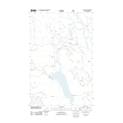
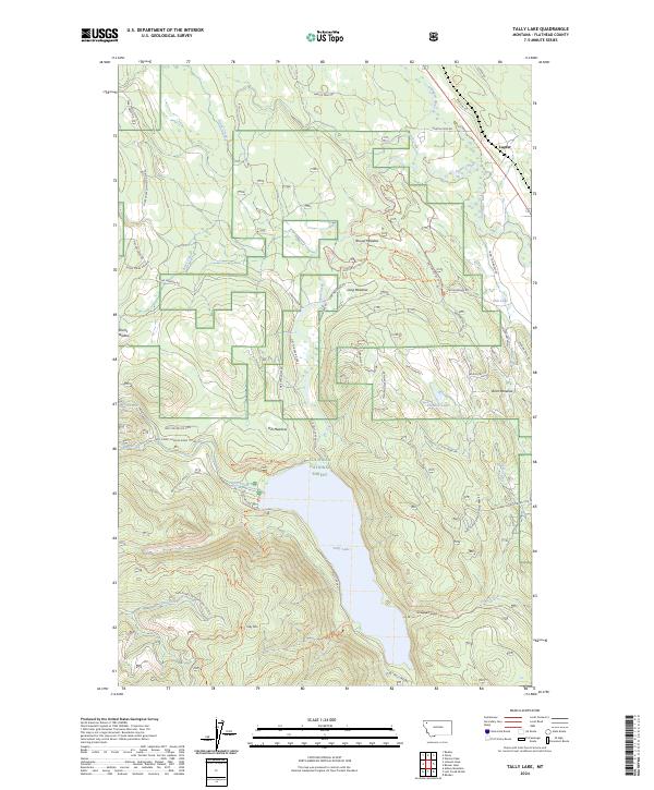 2024 Tally Lake2024 Print · USGSThe Flathead Valley backcountry is shown here in the 2020s, a landscape defined by high-country meadows and forest roads. Researchers can trace the legacy of the region through the settlement at Lupfer, the waters of Tally Lake, and the many clearings like Hill Meadow.
End of results
Showing maps 1-11 of 11
Top cities near Lupfer
Frequently asked questions
- What are the different types of historical maps available for Lupfer?
- What is the oldest map of Lupfer?
- Where can I purchase historical maps of Lupfer for my home or office?
- Where can I download high-res historical maps of Lupfer?
- Are there historical topographic maps available for Lupfer?
- Is there historical aerial imagery available for Lupfer?
- Where are historical maps of Lupfer sourced from?