Old Maps of Pine Prairie, Montana for Academic Research
Study the evolution of Pine Prairie with 11 high-resolution historic maps. Whether you're teaching, researching, or modeling changes in land use, these maps provide essential visual documentation of urban, environmental, and geographic change.
- Analyze long-term change: Track patterns in development, transportation, and natural features.
- Ideal for environmental or urban studies: Support academic projects with primary historical map data.
- Use in the classroom or lab: Educators and researchers rely on these maps to bring historical context to life.
These maps are a powerful tool for teaching, research, and visualizing how Pine Prairie has changed over the decades.
Pine Prairie, MT maps
(11)- 1957 Map of Kalispell, 1967 Print
 1957 Kalispell1967 Print · USGSNorthwest Montana in the late fifties showcases a mountain landscape transitioning between wilderness and industry. Genealogists and researchers can trace the Great Northern rail corridor through Kalispell and Whitefish, or locate landmarks like the Montana Soldiers Home and Hungry Horse Reservoir.3 unique versions available
 - 1960 Map of Kalispell
 1960 Kalispell1960 Print · USGSNorthwest Montana in the late fifties is defined by the mountain corridors of the Great Northern Railway and the vast reaches of Glacier National Park. Researchers can trace the legacy of timber and mining towns like Libby, Rexford, and Whitefish, or locate landmarks such as the Snowshoe Mine.
 - 1961 Map of Kalispell
 1961 Kalispell1961 Print · USGSNorthwestern Montana at the start of the 1960s shows a landscape of timber-driven rail towns and the sprawling wild lands of Glacier National Park. Genealogists and historians can trace the route of the Great Northern through mountain passes or locate old settlements like Fortine, Trego, and Warland.
 - 1964 Map of Marion, 1967 Print
 1964 Marion1967 Print · USGSThe area around Marion and the shores of Little Bitterroot Lake are captured here in the mid-1960s. Genealogists and local historians can trace old homestead access via the Lower Lost Prairie Road and locate landmarks like Moore Springs and Granger Meadow.2 unique versions available
 - 1981 Map of Kalispell, 1982 Print
 1981 Kalispell1982 Print · USGSThe Flathead Valley in the early eighties shows a landscape defined by timber, tourism, and transit. Genealogists and historians can trace the growth of Evergreen, Bigfork, and Somers or locate early aviation landmarks like the Glacier Park Intl Airport.
 - 1994 Map of Marion, 1996 Print
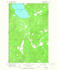
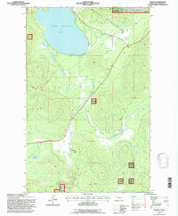 1994 Marion1996 Print · USGSMarion and the Salish Mountains are captured in the mid-1990s, showcasing a landscape of timbered peaks and vital waterways. Researchers can trace local landmarks like Little Bitterroot Lake, the small settlement of Pine Prairie, and the remote Moore Springs.
 - 2011 Map of Marion, 2011 Print
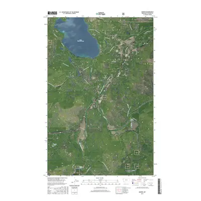
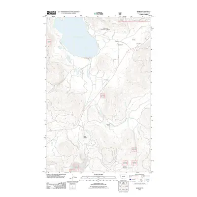 2011 Marion2011 Print · USGSCovers Pine Prairie, including Marion, Flathead County, and other nearby areas
 - 2014 Map of Marion, 2014 Print
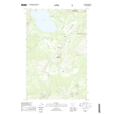
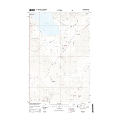 2014 Marion2014 Print · USGSCovers Pine Prairie, including Marion, Flathead County, and other nearby areas
 - 2017 Map of Marion, 2017 Print
 2017 Marion2017 Print · USGSCovers Pine Prairie, including Marion, Flathead County, and other nearby areas
 - 2020 Map of Marion, 2020 Print
 2020 Marion2020 Print · USGSCovers Pine Prairie, including Marion, Flathead County, and other nearby areas
 - 2024 Map of Marion, 2024 Print
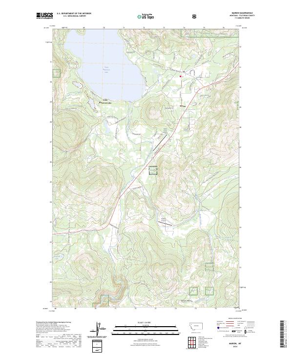 2024 Marion2024 Print · USGSMarion and the shores of Little Bitterroot Lake are documented here in recent years as the community interfaces with the Flathead National Forest. Researchers can trace local landmarks like Hanson Airport, the remote Skookum Lake, and family-named routes such as Mericle Mountain Rd.
End of results
Showing maps 1-11 of 11
Frequently asked questions
- What are the different types of historical maps available for Pine Prairie?
- What is the oldest map of Pine Prairie?
- Where can I purchase historical maps of Pine Prairie for my home or office?
- Where can I download high-res historical maps of Pine Prairie?
- Are there historical topographic maps available for Pine Prairie?
- Is there historical aerial imagery available for Pine Prairie?
- Where are historical maps of Pine Prairie sourced from?