Loading...
Loading map...2024 Map of Marion
USGS Topo · Published 2024About this map
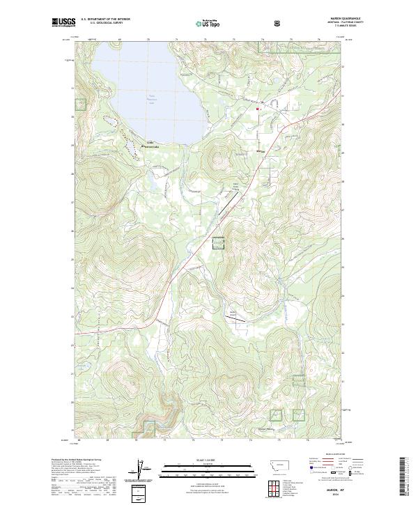
Little Bitterroot Lake dominates the northern reaches of this Montana landscape, acting as a focal point for the settlement of Marion. The community is situated along the eastern shore, where local infrastructure like Marion Pines Dr and Homesteaders Way suggests a modern residential character. To the south, the terrain becomes increasingly defined by the Cabinet Mountains and the winding course of the Little Bitterroot River.
Find a feature on this map
50 named features on this map. Tap any name to fly to it.
Don’t see what you’re looking for? This feature index may not catch every label — zoom into the map to look around manually.
Map Details
Date Portrayed2024
Date Published2024
PublisherU.S. Geological Survey
Map TypeTopographic
Scale1:24000
Physical Dimensions24 x 29 inches
Editions of this 2024 Marion Map
This is the sole edition of this map. No revisions or reprints were ever made.
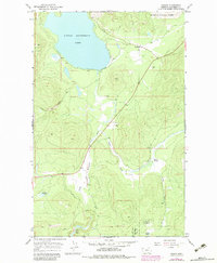
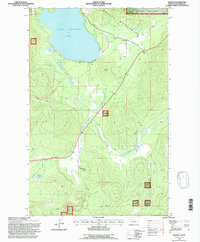
Historical Maps of Pine Prairie Through Time
3 maps found
Featured Locations
Source Details
SourceU.S. Geological Survey
CopyrightPublic Domain